Pauline
Forums Admin
Tuesday March 12
It is quiet here! In Haifa we could hear the traffic on our street at night. Here, nothing. During the evening we had a cat meowing at our door and then there was a major dog barking festival, but by 11pm it was silent.
Woke up to clear skies and sun. We are supposed to get several days of rain but it does not start until Thursday. Today we drove 20 minutes north to the Arab village of Jish. It takes us 10 minutes just to drive out of our village!
Jish is the only village in Israel with a Maronite (Eastern Catholic) majority. It was settled by migrants from Lebanon in the 18th and 19th centuries. They speak Aramaic, the language that Jesus spoke, in their church services. Much earlier, during the Great Jewish Revolt (against the Romans) in 66 – 70 AD (CE), Jish was a Jewish town known as Gush Halav and was the last place to fall to the Romans in the Galilee. This must have been happening when Masada in the Negev was fighting the Romans.
Jish is small, built on a hill, and a bit chaotic. We drove in and found a small parking lot. We were not sure we could park there so I asked a young couple who had just parked. They said it was okay. We got ourselves booted up and organized, then had a problem with the car. Rental cars in Israel have a keypad where you punch in a code and then you can start the car (to prevent theft). Our security system seems a bit touchy and today it would not let us lock the car. The couple we spoke to were returning to their car and the young man works with cars so consulted with Steve. They got it working. The key was to wait to let it reset itself.
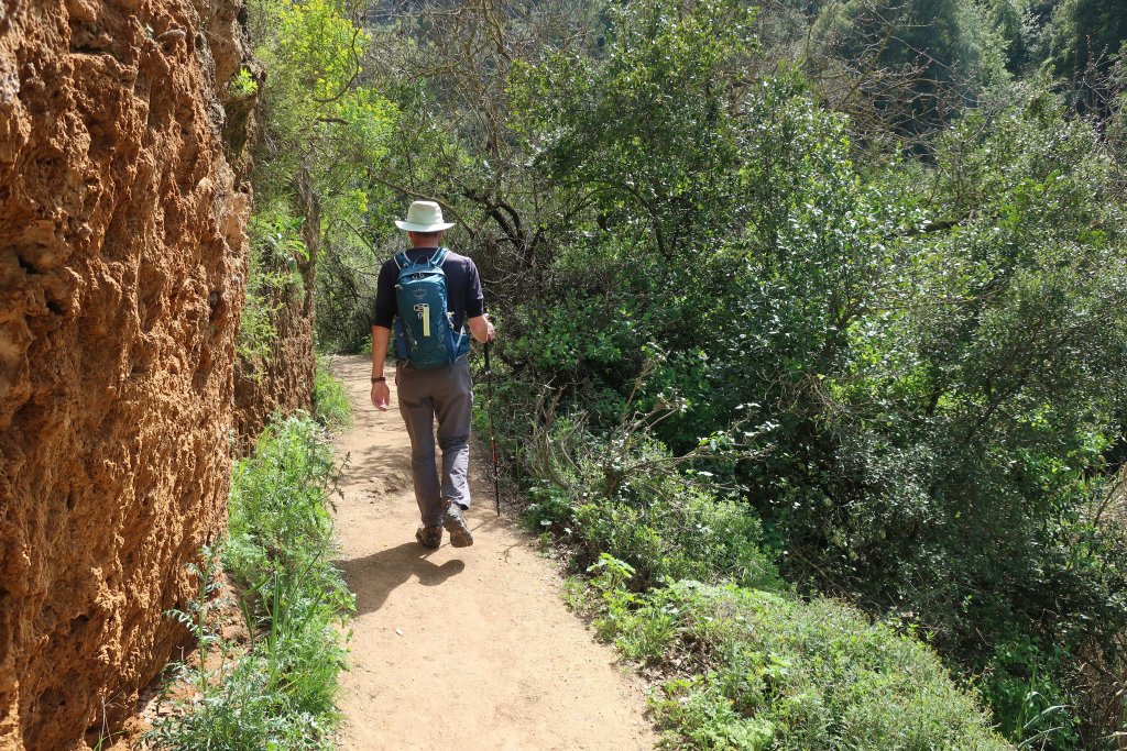
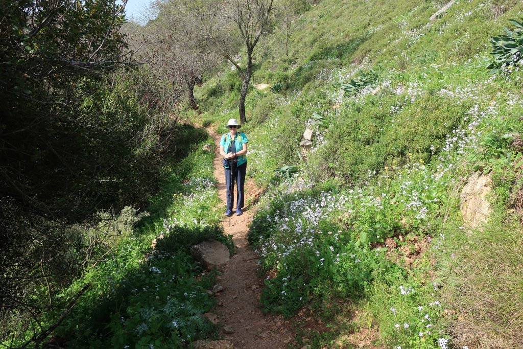
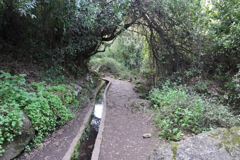
We started out on our hike. I had a printed description from Israel by Foot and had downloaded and printed their maps. Plus I had the GPS track loaded into the TwoNav app on my phone. This app works well in Israel. This was my first time using the app and it could not get a GPS signal. I went into Google Maps but could not relate the streets it showed with the trail. So we merrily headed off guessing wrongly which way to go. After climbing to the top of town, and then back down a bit, we found the road we thought we should be on, but then we forked left when we should have forked right and we kept walking and ran into the young couple again. They had driven to this point and were taking their dog for a walk.
I asked if she knew where the Winter Pond was and she said we were on the wrong road. We joined them walking back to their car and not only did they point us to the right dirt road, but we had an interesting conversation. She is from Jish, a Maronite Catholic. Yes, Aramaic is used in church but she doesn’t know it, just like how Latin was used in mass when I was young, but I did not know it. She married an Arab Catholic from Haifa (the car guy with her) and they live there, but were back to visit her parents in Jish. Since they are both Arabs, they speak Arabic with each other. She is fluent in Hebrew because she said you have to speak Hebrew to live in Haifa. And fluent in English (not sure why). We passed an older guy with a flock of sheep and she said he would be from Jish but she did not know him. She loves Haifa because she loves being by the sea.
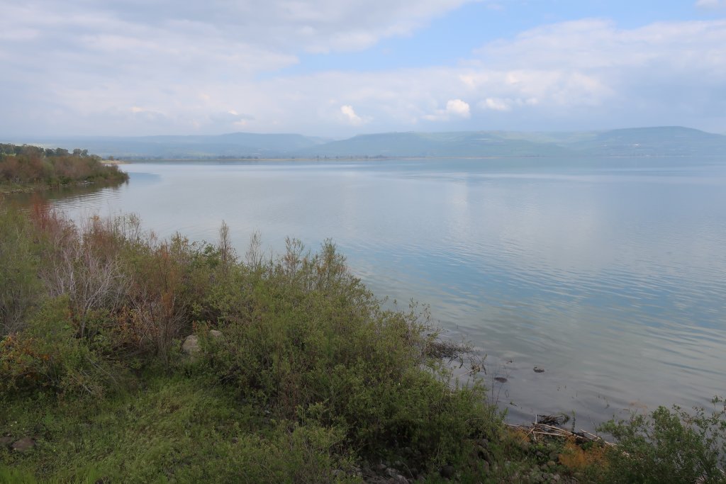
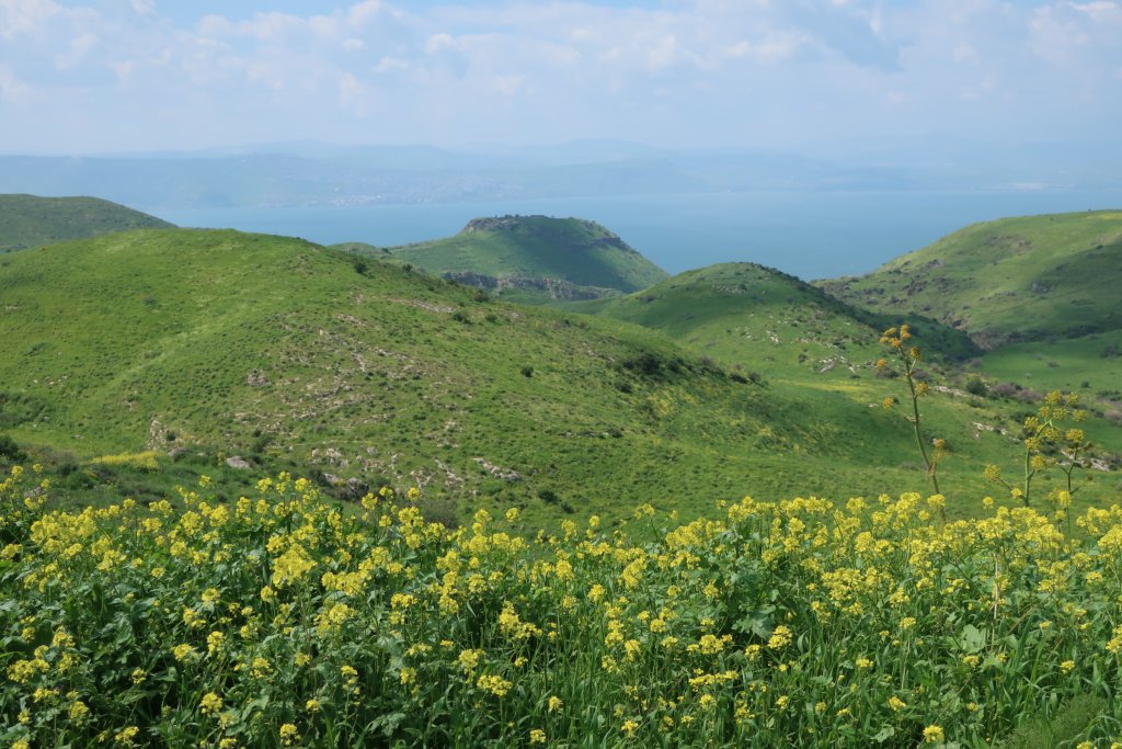
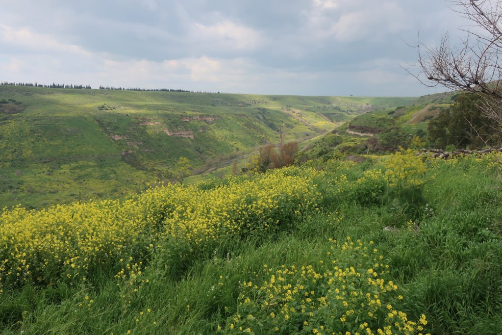
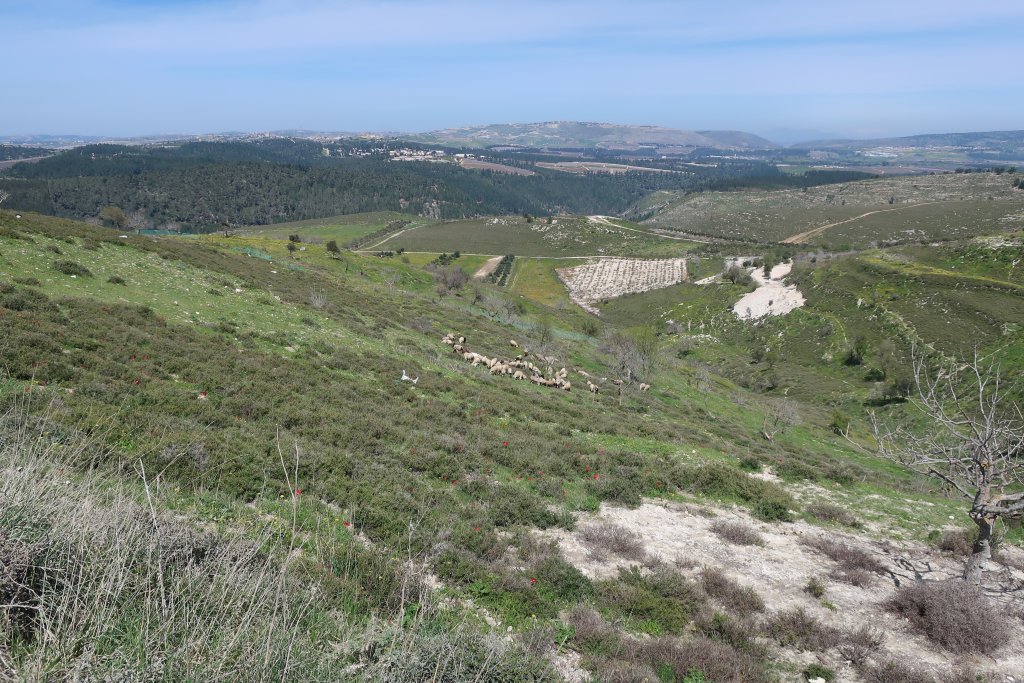
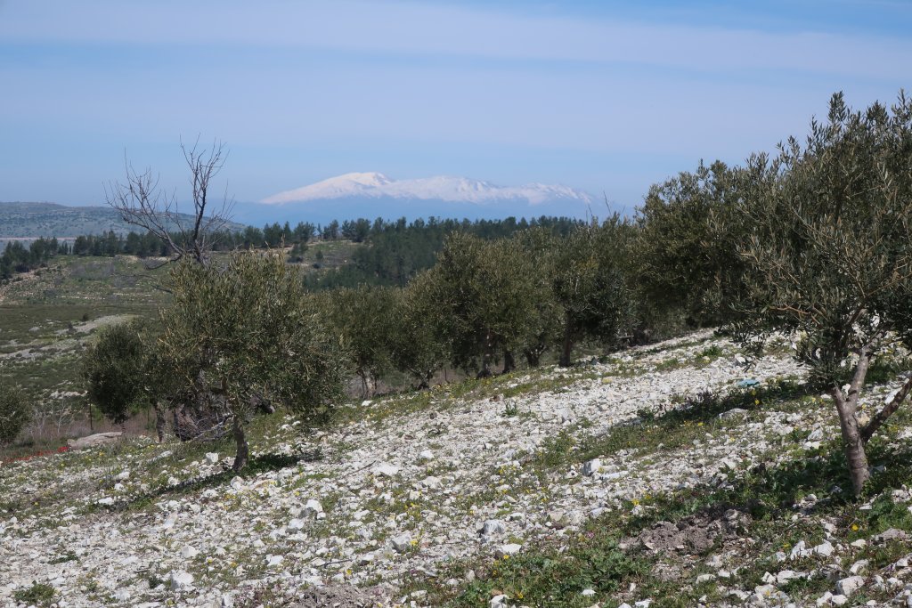
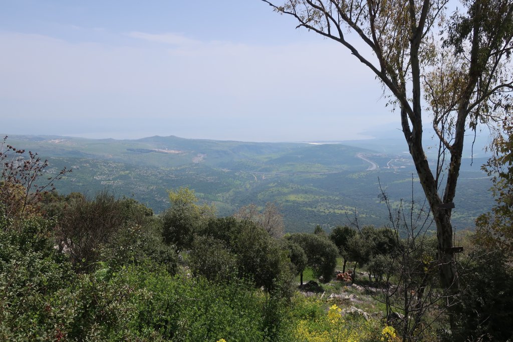
She pointed out a town in Lebanon that we could see from where we were. We could also see snow capped Mount Hermon which sites in northern Israel at the borders of Lebanon and Syria.
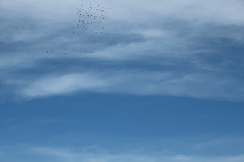
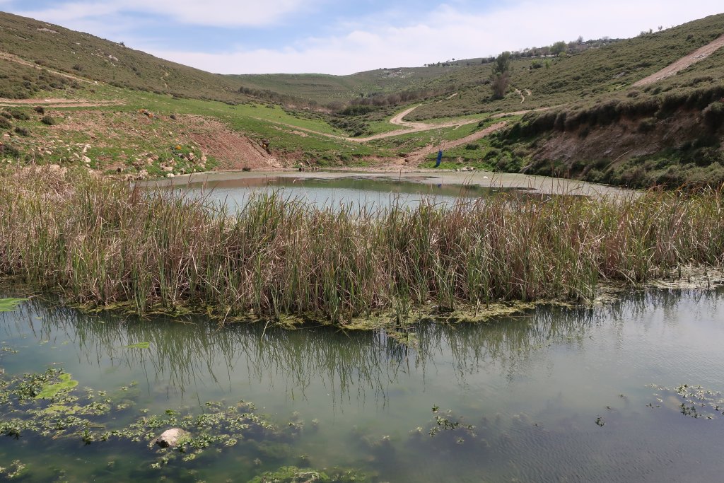
They drove off and we went on the correct way and got to the pond in 30 minutes. A stork flew to a tree on the pond as we arrived. They are migrating now from Africa to Europe. This area is part of the Rift Valley. We had our lunch by the pond and a huge swarm of birds flew overhead. Hundreds of them. I think they were storks. They were very high up. Itamar, our host, said he saw hundreds of storks fly over Amirim the day before. Beautiful!
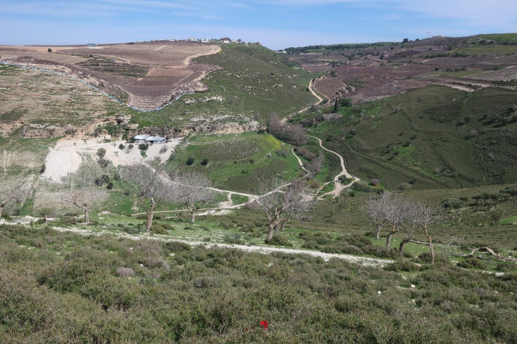
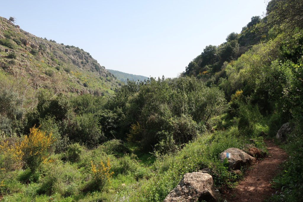
We did not follow the hiking trail, but we could see where it went. We needed the GPS track for the next part. Instead we took a dirt road up a steep hill, across and down the hill to the Gush Halav valley where we could meet up with the trail.
Going down to the river was very steep on a dusty, stony road and I slipped. I even had a hiking pole. I was lucky – just a scraped knee and a small tear in my hiking trousers – but as I was falling with my knee buckled under me I thought “what is the number for emergencies here? 100?” 100 for Police, 101 for Ambulance. I should record things like that on our itinerary.
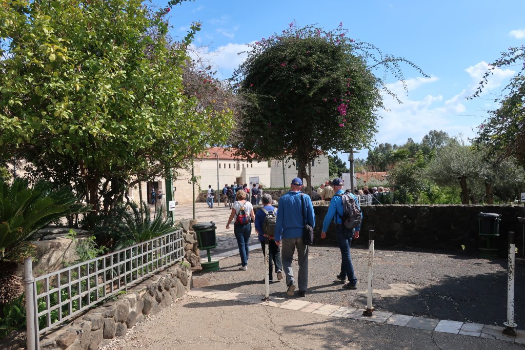
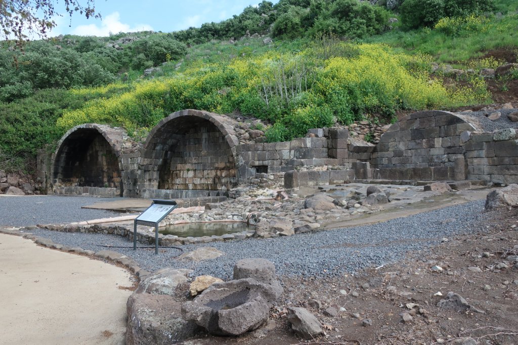
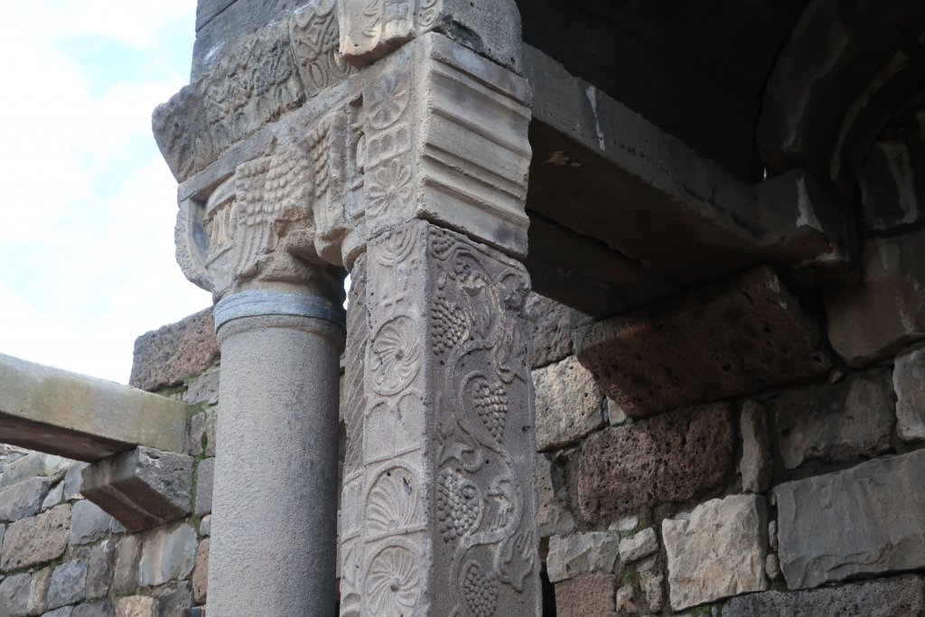
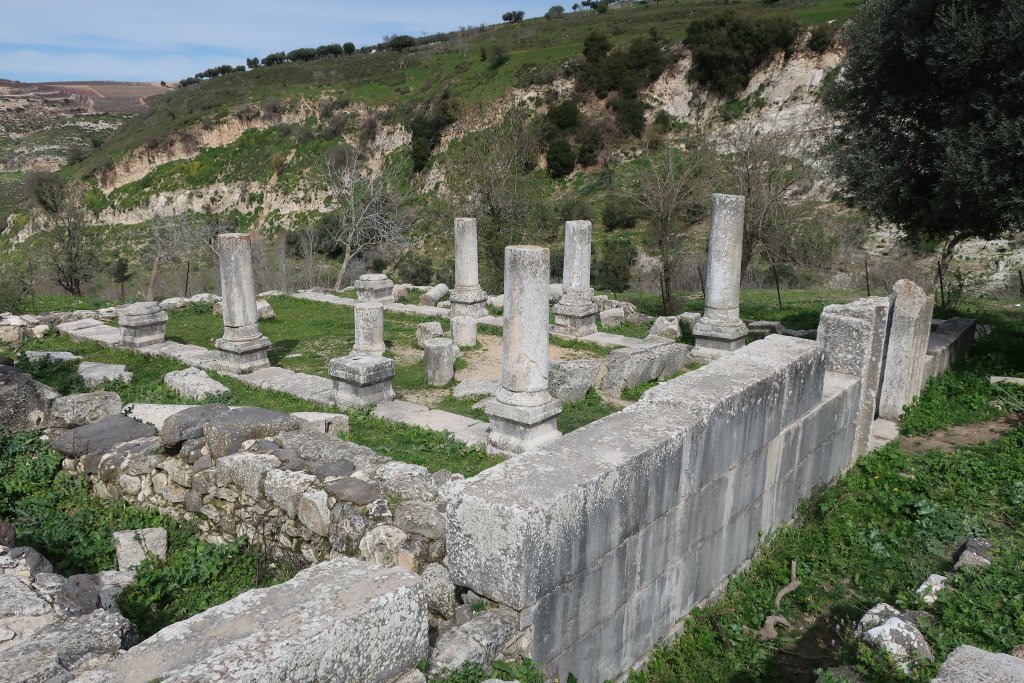
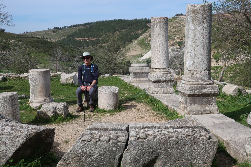
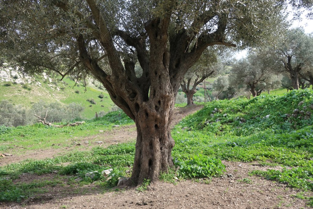
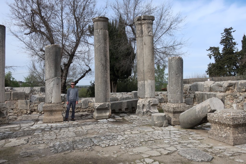
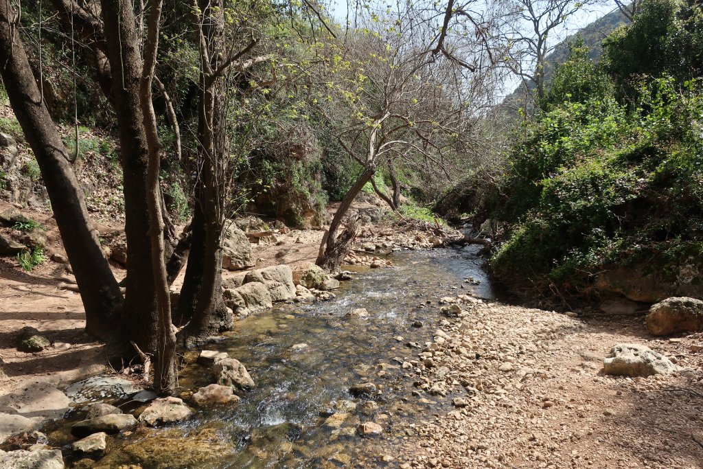
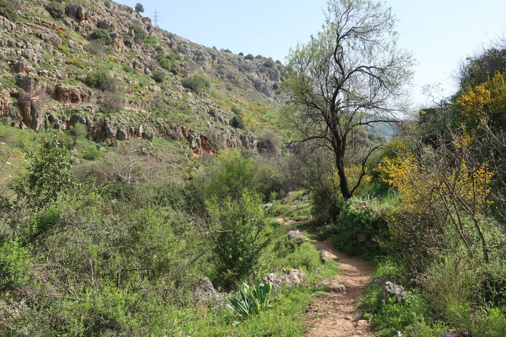
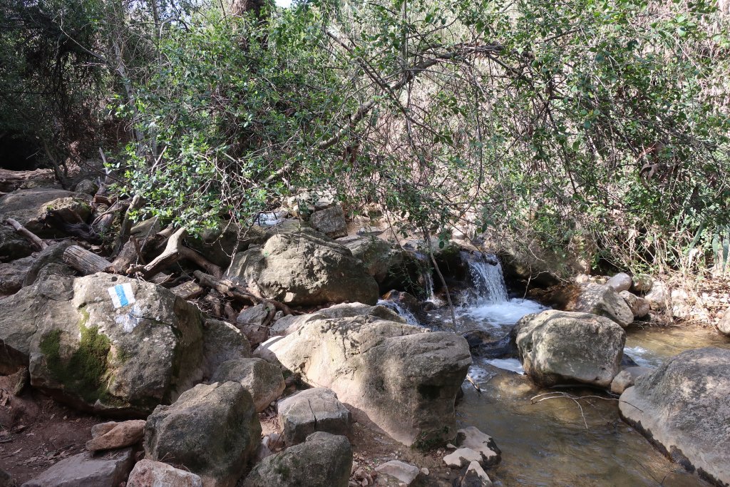
We made it down to the river and found our first hiking trail markers. We were now heading back towards Jish. Along the way we stopped at an ancient synagogue from 300 - 400AD when there was a Jewish town here. It is situated in an olive grove overlooking the river below. A herd of goats with bells were on the hillside opposite.
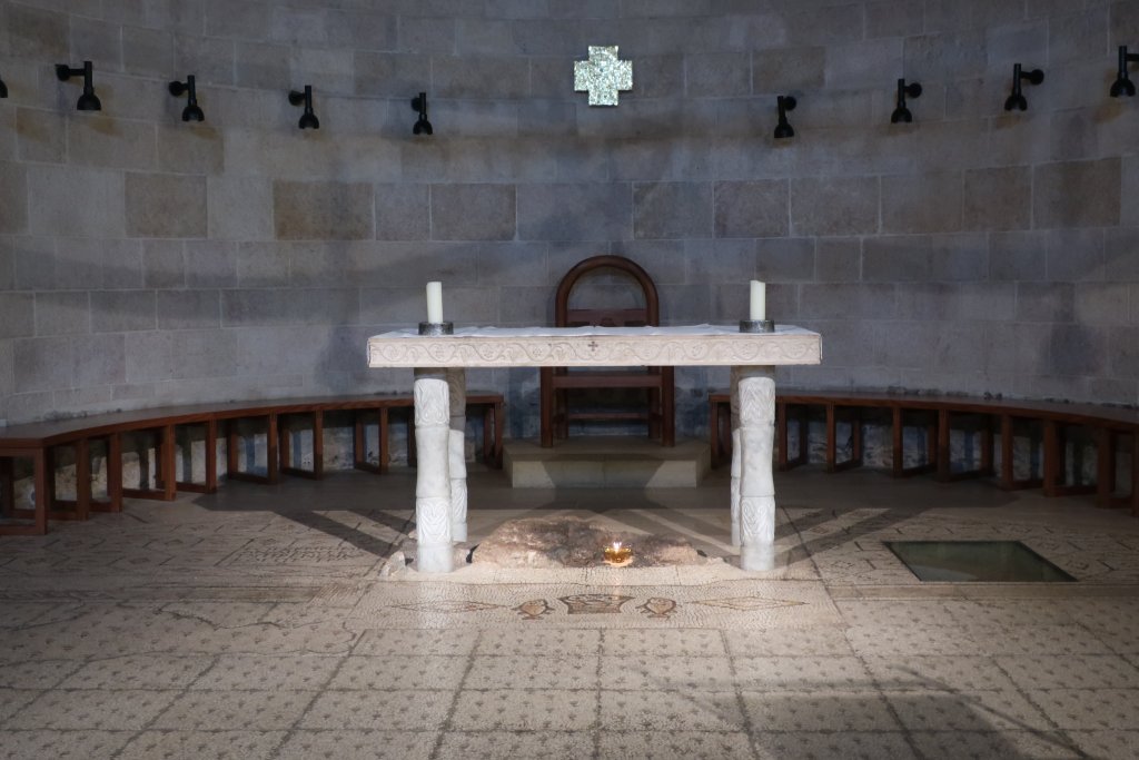
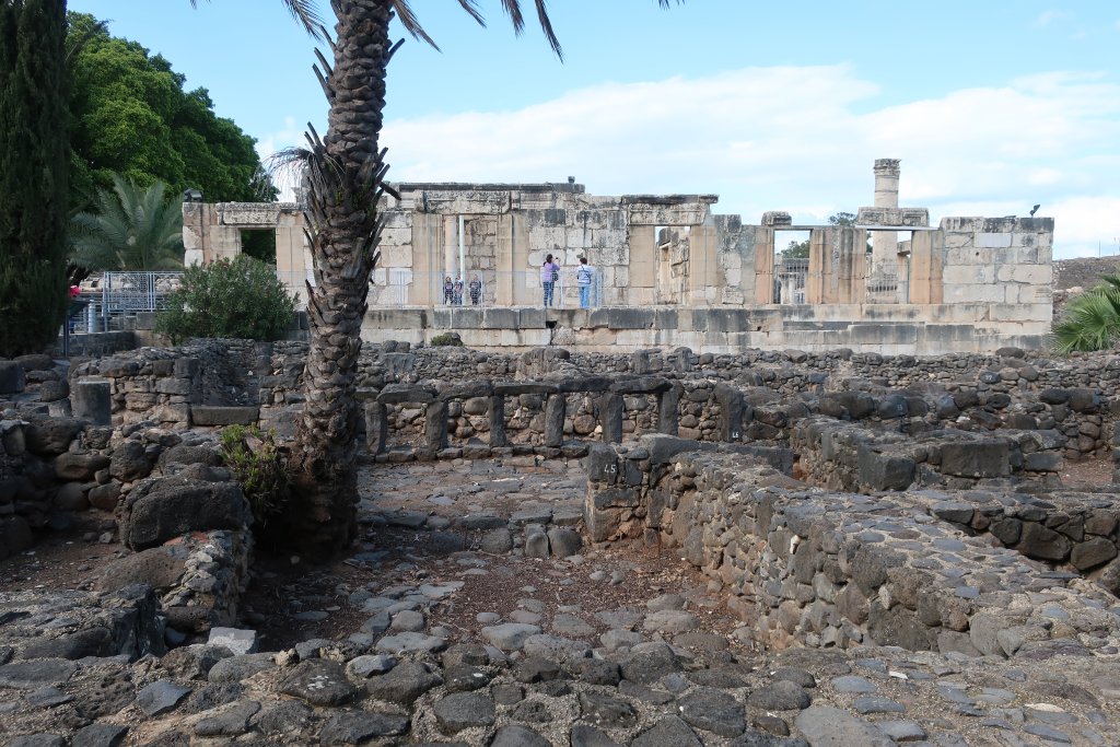
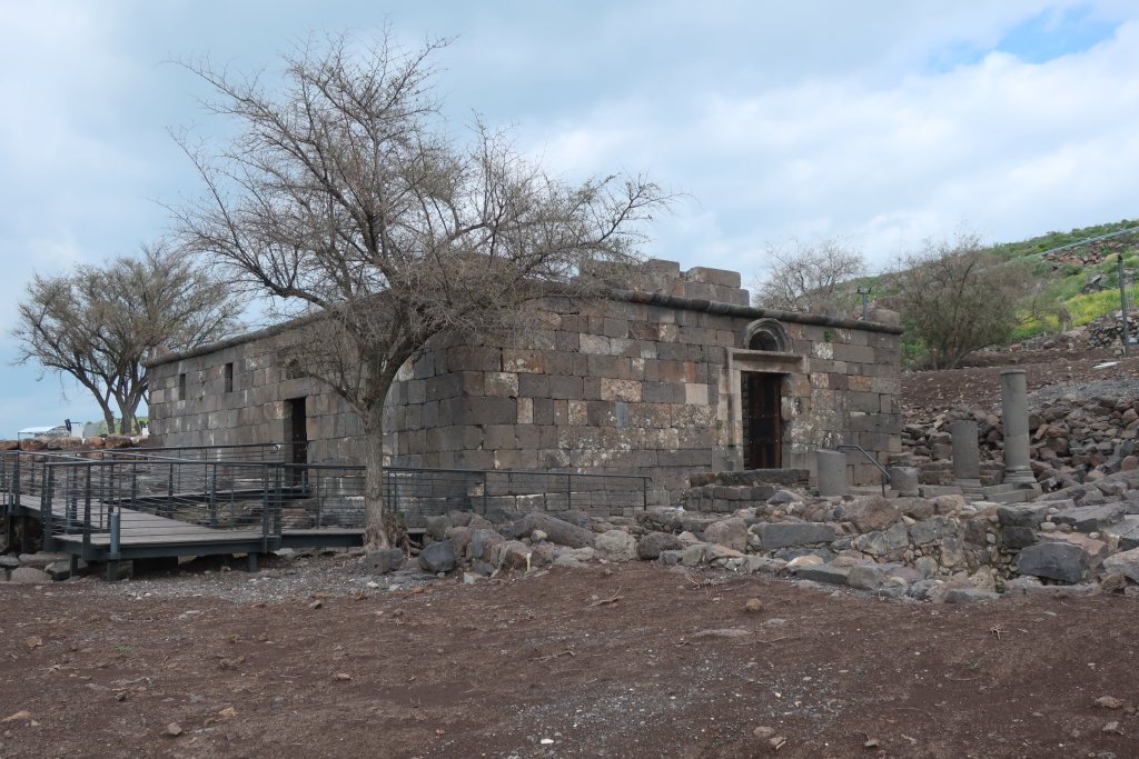
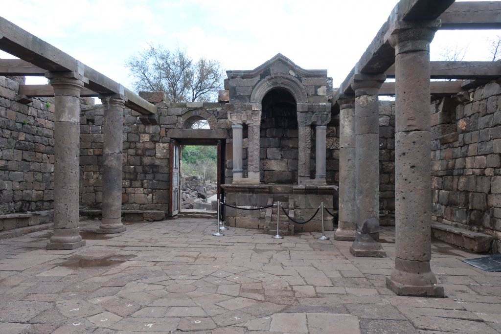
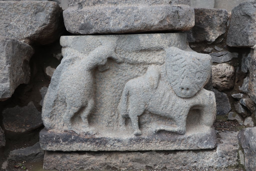
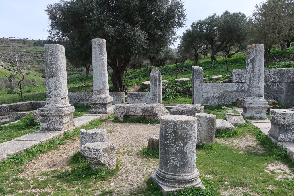
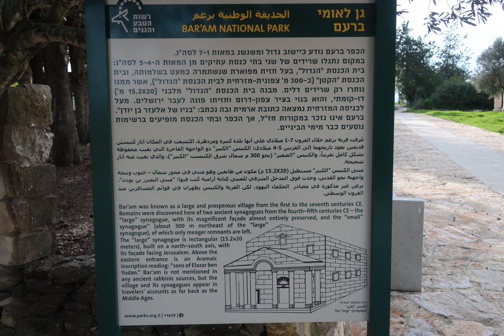
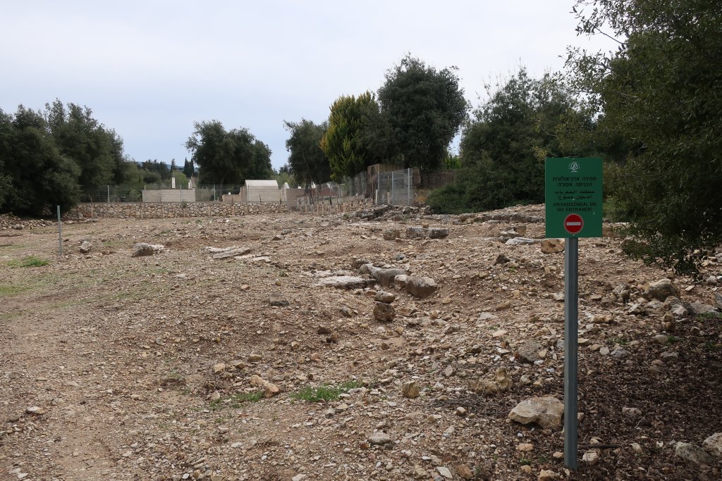
Back to town and it was 2:45pm (we had started at 11:30am). We drove north another 10 minutes to Bar’am National Park (which closes at 4pm) to see another ancient synagogue from 400 - 500 AD (CE). We had to pay to get in the park and we were the only ones there. It is a much larger building than the one we saw on our hike and better preserved. It had a large portico but only the columns remain. The doorways, columns inside and some walls are in good shape. The doorways face south to Jerusalem. One doorway has an Aramaic inscription above it. There was a Jewish village here from 100 - 700 AD.
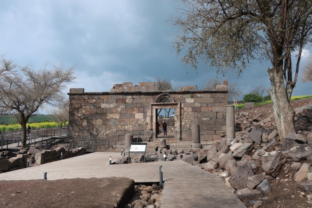
There is a second synagogue but no signs to it. We drove a bit more north and located it. It is outside the main park area, north of the Christian cemetery and accessible on foot down a dirt lane.
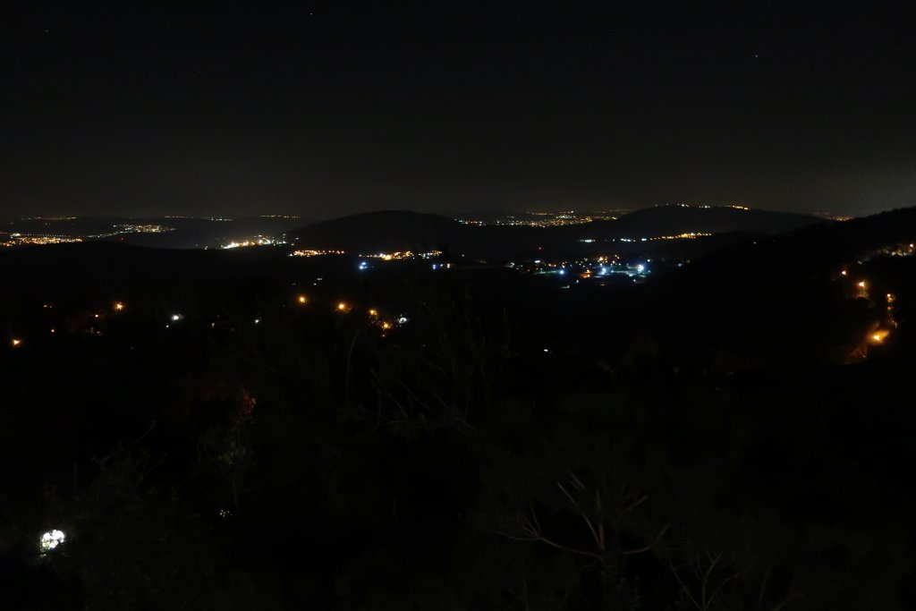
Back home to listen to the Brexit news. I am hoping for a delay because I foolishly booked us to fly back right after Brexit when surely chaos will reign. Another hot tub tonight!
It is quiet here! In Haifa we could hear the traffic on our street at night. Here, nothing. During the evening we had a cat meowing at our door and then there was a major dog barking festival, but by 11pm it was silent.
Woke up to clear skies and sun. We are supposed to get several days of rain but it does not start until Thursday. Today we drove 20 minutes north to the Arab village of Jish. It takes us 10 minutes just to drive out of our village!
Jish is the only village in Israel with a Maronite (Eastern Catholic) majority. It was settled by migrants from Lebanon in the 18th and 19th centuries. They speak Aramaic, the language that Jesus spoke, in their church services. Much earlier, during the Great Jewish Revolt (against the Romans) in 66 – 70 AD (CE), Jish was a Jewish town known as Gush Halav and was the last place to fall to the Romans in the Galilee. This must have been happening when Masada in the Negev was fighting the Romans.
Jish is small, built on a hill, and a bit chaotic. We drove in and found a small parking lot. We were not sure we could park there so I asked a young couple who had just parked. They said it was okay. We got ourselves booted up and organized, then had a problem with the car. Rental cars in Israel have a keypad where you punch in a code and then you can start the car (to prevent theft). Our security system seems a bit touchy and today it would not let us lock the car. The couple we spoke to were returning to their car and the young man works with cars so consulted with Steve. They got it working. The key was to wait to let it reset itself.
We started out on our hike. I had a printed description from Israel by Foot and had downloaded and printed their maps. Plus I had the GPS track loaded into the TwoNav app on my phone. This app works well in Israel. This was my first time using the app and it could not get a GPS signal. I went into Google Maps but could not relate the streets it showed with the trail. So we merrily headed off guessing wrongly which way to go. After climbing to the top of town, and then back down a bit, we found the road we thought we should be on, but then we forked left when we should have forked right and we kept walking and ran into the young couple again. They had driven to this point and were taking their dog for a walk.
I asked if she knew where the Winter Pond was and she said we were on the wrong road. We joined them walking back to their car and not only did they point us to the right dirt road, but we had an interesting conversation. She is from Jish, a Maronite Catholic. Yes, Aramaic is used in church but she doesn’t know it, just like how Latin was used in mass when I was young, but I did not know it. She married an Arab Catholic from Haifa (the car guy with her) and they live there, but were back to visit her parents in Jish. Since they are both Arabs, they speak Arabic with each other. She is fluent in Hebrew because she said you have to speak Hebrew to live in Haifa. And fluent in English (not sure why). We passed an older guy with a flock of sheep and she said he would be from Jish but she did not know him. She loves Haifa because she loves being by the sea.
She pointed out a town in Lebanon that we could see from where we were. We could also see snow capped Mount Hermon which sites in northern Israel at the borders of Lebanon and Syria.
They drove off and we went on the correct way and got to the pond in 30 minutes. A stork flew to a tree on the pond as we arrived. They are migrating now from Africa to Europe. This area is part of the Rift Valley. We had our lunch by the pond and a huge swarm of birds flew overhead. Hundreds of them. I think they were storks. They were very high up. Itamar, our host, said he saw hundreds of storks fly over Amirim the day before. Beautiful!
We did not follow the hiking trail, but we could see where it went. We needed the GPS track for the next part. Instead we took a dirt road up a steep hill, across and down the hill to the Gush Halav valley where we could meet up with the trail.
Going down to the river was very steep on a dusty, stony road and I slipped. I even had a hiking pole. I was lucky – just a scraped knee and a small tear in my hiking trousers – but as I was falling with my knee buckled under me I thought “what is the number for emergencies here? 100?” 100 for Police, 101 for Ambulance. I should record things like that on our itinerary.
We made it down to the river and found our first hiking trail markers. We were now heading back towards Jish. Along the way we stopped at an ancient synagogue from 300 - 400AD when there was a Jewish town here. It is situated in an olive grove overlooking the river below. A herd of goats with bells were on the hillside opposite.
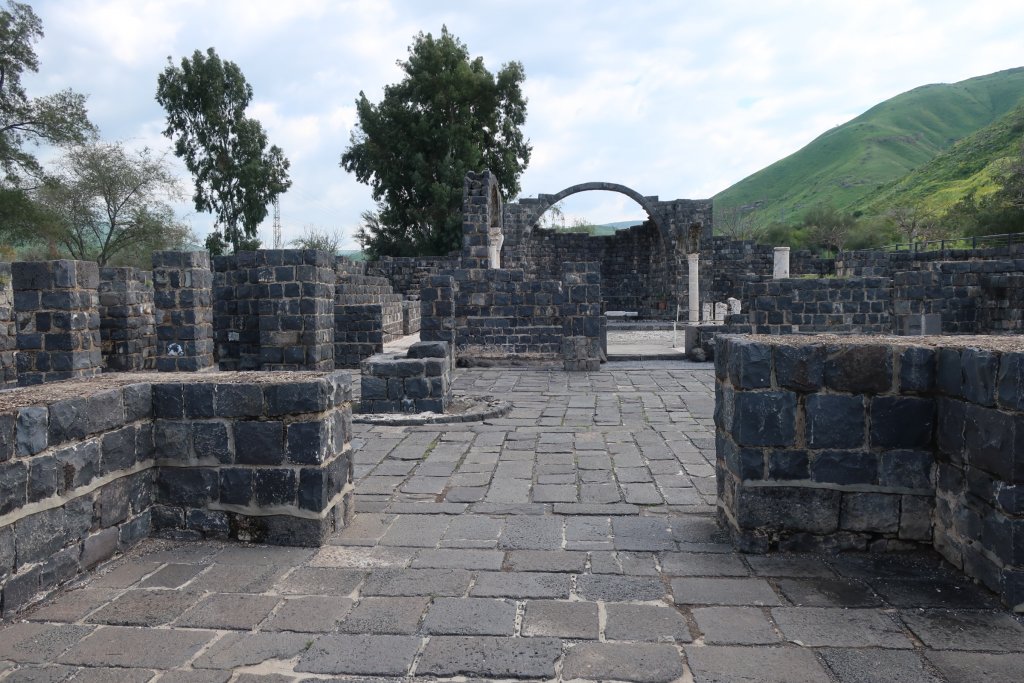
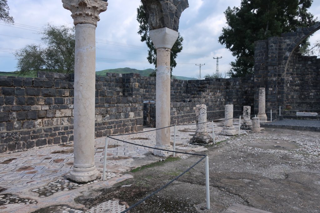
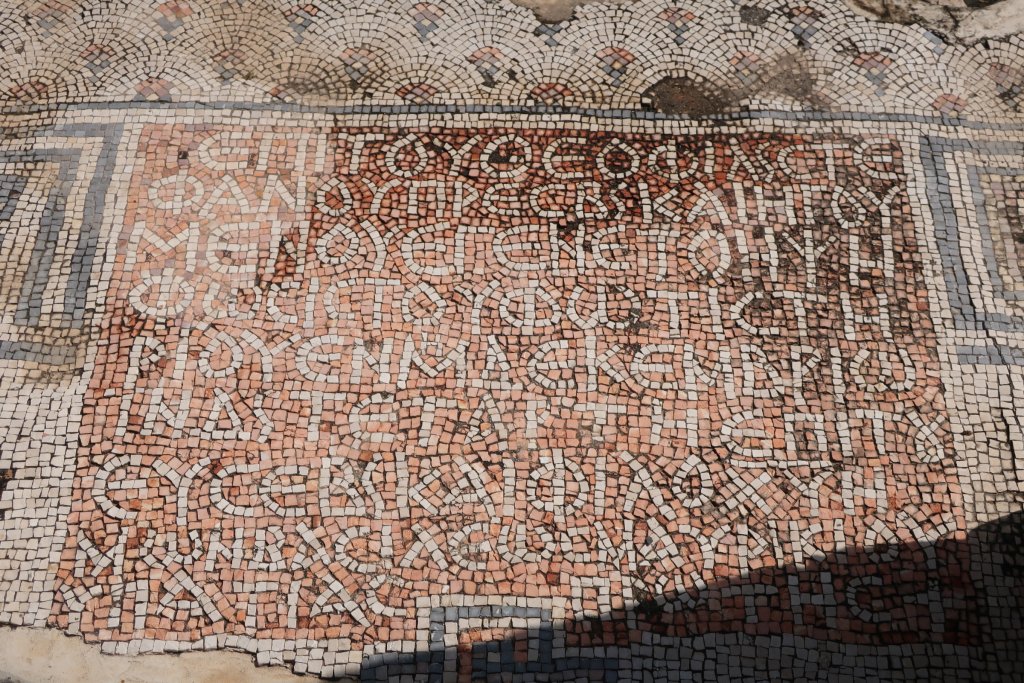
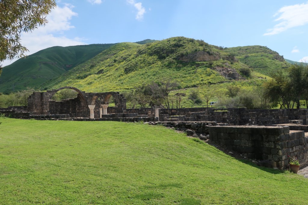
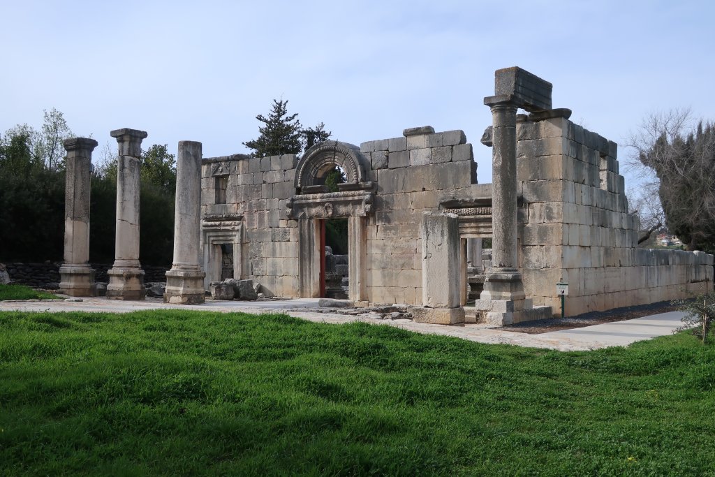
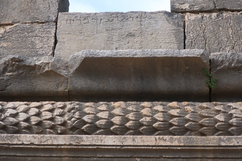
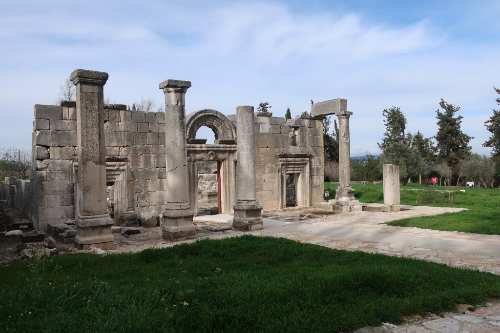
Back to town and it was 2:45pm (we had started at 11:30am). We drove north another 10 minutes to Bar’am National Park (which closes at 4pm) to see another ancient synagogue from 400 - 500 AD (CE). We had to pay to get in the park and we were the only ones there. It is a much larger building than the one we saw on our hike and better preserved. It had a large portico but only the columns remain. The doorways, columns inside and some walls are in good shape. The doorways face south to Jerusalem. One doorway has an Aramaic inscription above it. There was a Jewish village here from 100 - 700 AD.
There is a second synagogue but no signs to it. We drove a bit more north and located it. It is outside the main park area, north of the Christian cemetery and accessible on foot down a dirt lane.
Back home to listen to the Brexit news. I am hoping for a delay because I foolishly booked us to fly back right after Brexit when surely chaos will reign. Another hot tub tonight!
Hike from Jish
View of snow capped Mt Hermon on the border with Lebanon and Syria.
Hike from Jish
Storks migrating up the Rift Valley from Africa to Europe stop in this area.
Hike from Jish
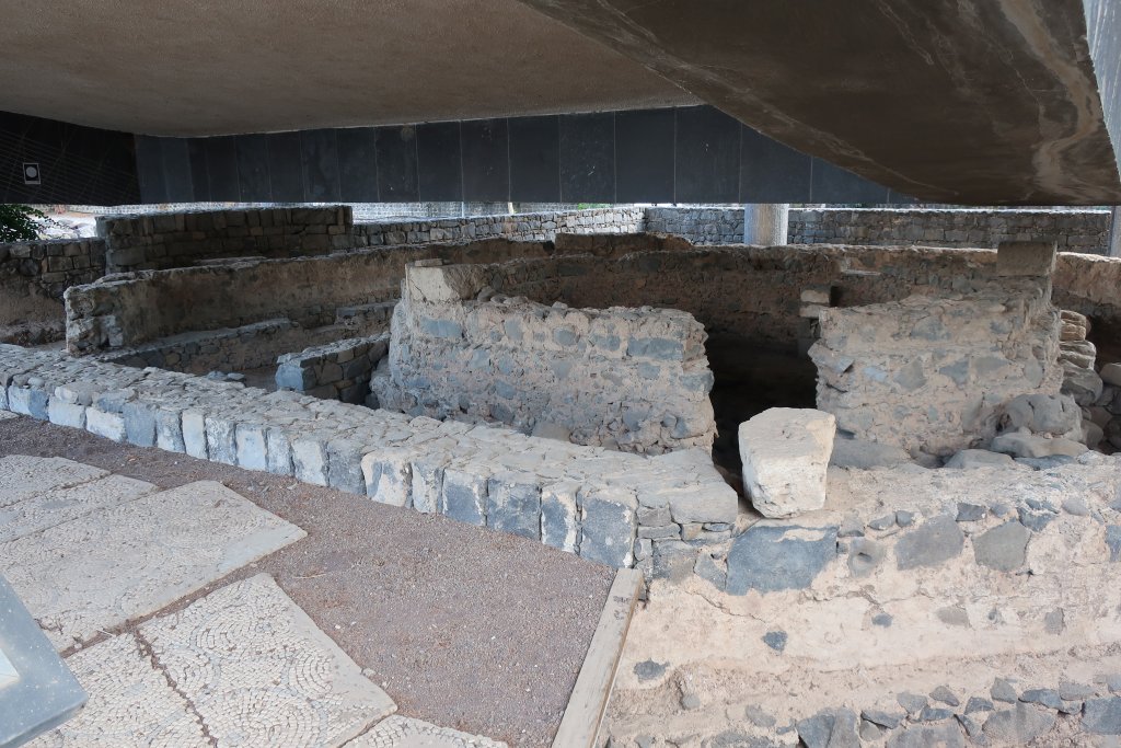
Ancient synagogue from 300 - 400AD when there was a Jewish town here.
Hike from Jish
Ancient synagogue from 300 - 400AD when there was a Jewish town here.
Hike from Jish
Ancient synagogue from 300 - 400AD when there was a Jewish town here.
Bar'am National Park
Information board showing what synagogue looked like. A large portico with the three doorways...
Bar'am National Park
Bar'am synagogue from 400 - 500 AD (CE). Doorways face south to Jerusalem.
Bar'am National Park
Snow capped Mount Hermon, on the border with Lebanon and Syria, in the background.
Bar'am National Park
The smaller second synagogue is outside the main part of the national park. We drove to it. It...


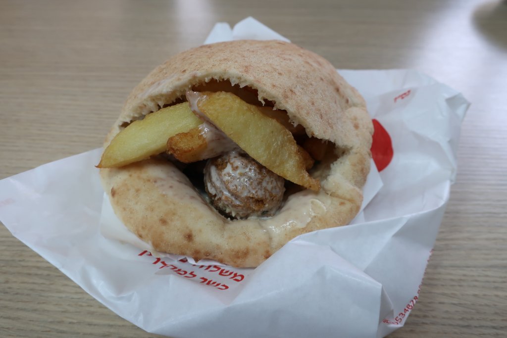
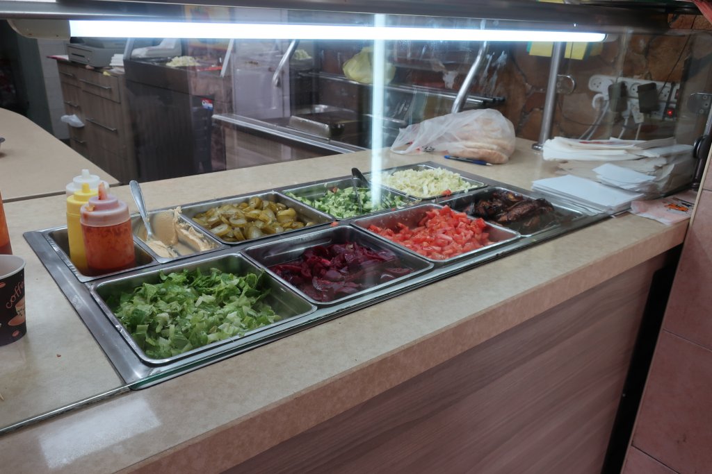
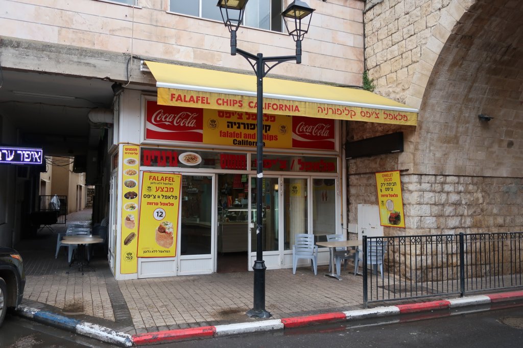
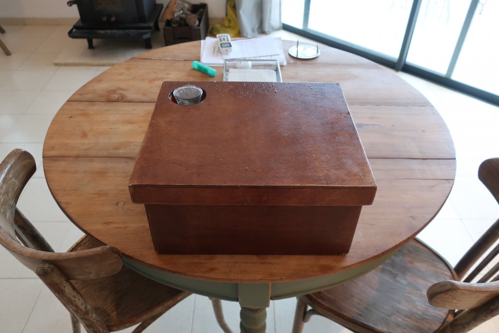
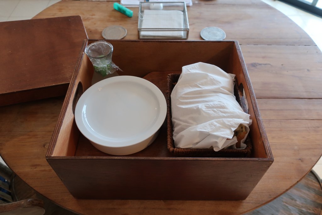
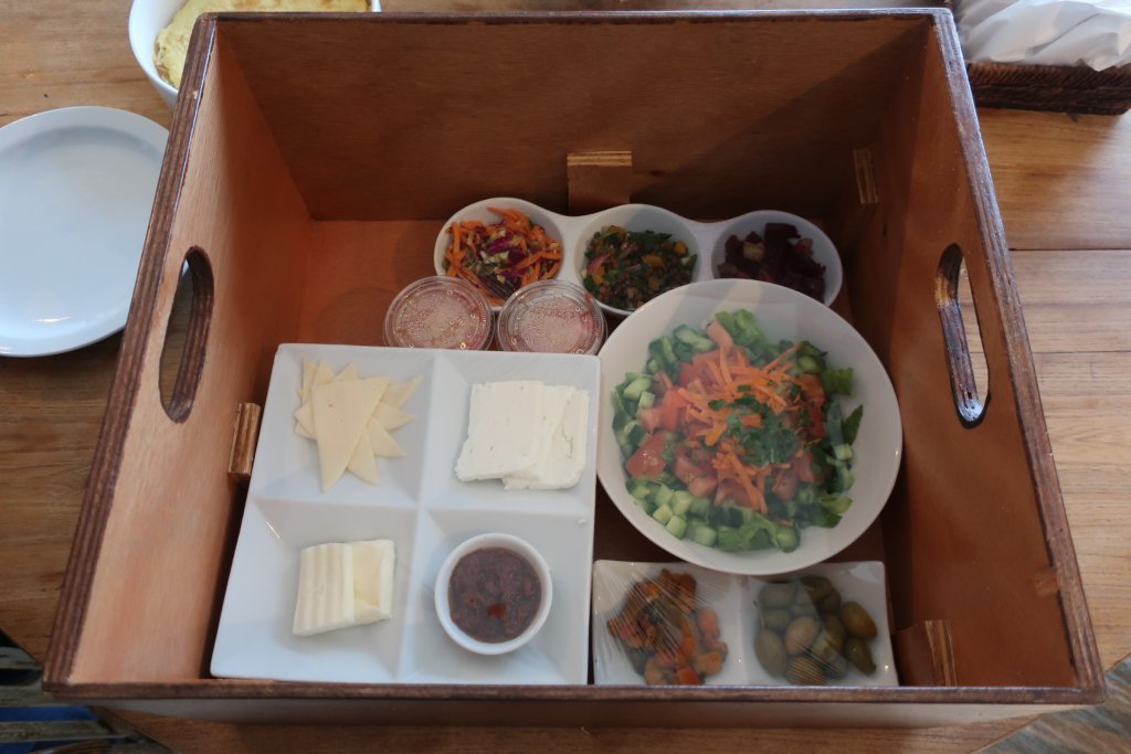
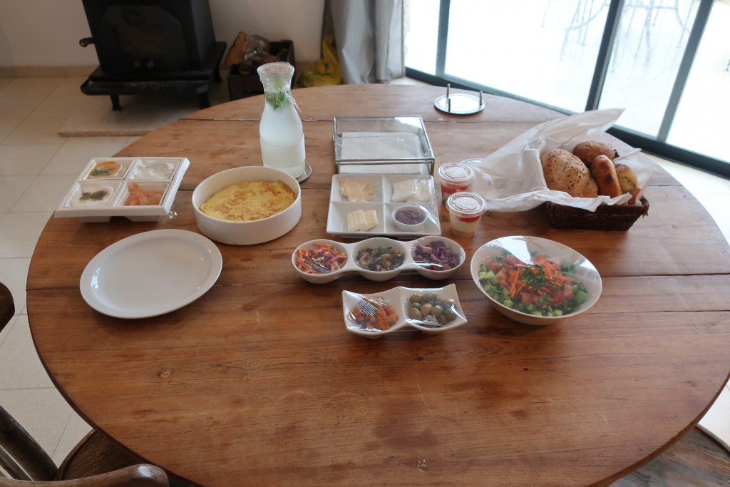
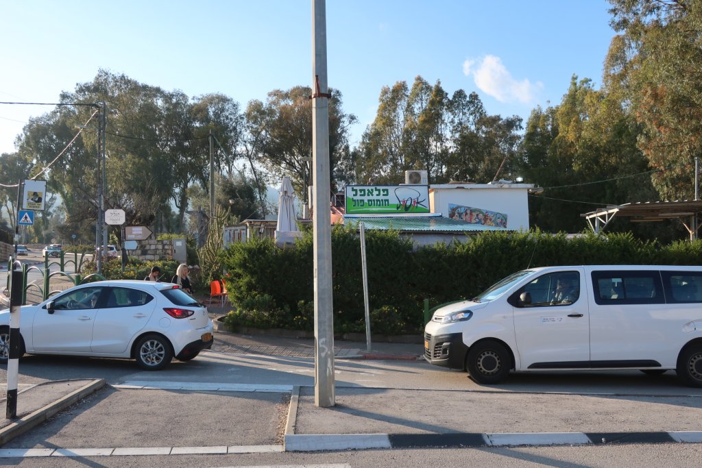
") It is a nice cafe. We bought pita with toppings for lunch - they had a good selection.
It is a nice cafe. We bought pita with toppings for lunch - they had a good selection.