Eleanor
1000+ Posts
This is a trip report previously published on Slow Travel for a trip to Tunisia in Spring 2012, just after the Jasmine Revolution. Because it is so long, I have written it in three parts. This covers the south of Tunisia. The North and the Roman remains in the north are covered in separate reports.
Introduction
We’ve visited all the continents except Africa. We felt we needed to address this but we didn’t want to go to South Africa. Equatorial Africa is too hot for us and we weren’t wanting to watch big game. This left the north coast. We discounted Algeria, Egypt and Libya which left Morocco or Tunisia. Of the two, Tunisia seemed to have the most to offer to us with the Roman sites in the north. We borrowed or bought guide books and started to read. Having drawn up a list of ideas we went to see Audley Travel who we use for all our long trips.
They came up with a month long itinerary beginning in the north and taking us into the desert in the south. We had said we wanted to travel slowly with at least two nights in each place and time to explore by ourselves. We wanted to avoid the tourist resorts and said ‘No Star War sites’. We would have a car and driver but no guide. This suited us as I always research trips thoroughly and go prepared with maps of places we are visiting and notes. Some guides can have very fixed ideas of what they want you to see, which may not be what we want to do.
We would fly British Airways from Gatwick. They have an early morning flight from Gatwick which would give us an afternoon to ourselves in Tunis. The flight back is an evening one which gave us a full day before flying home. As we always have a night near the airport before and after a trip this suited us. Air Tunisia flies from Heathrow but it is an afternoon flight out and day flight back.
The final itinerary looked like this:
Tunis - 4 nights
El Kef - 3 nights
Kairouan - 3 nights
Tamerza - 4 nights
Ksar Ghilane - 2 nights
Tataouine - 2 nights
Djerba - 2 nights
Sfax - 2 nights
Ksar Ezzit - 3 nights
We were lucky with out driver who spoke good English and had a wide knowledge of Tunisia. He soon learnt what we liked doing and took us to many places not in our itinerary, the guide books or internet.
The itinerary worked well and we enjoyed out trip. In retrospect we could have trimmed back on it.
We had allowed a day to see El Kef which we could probably have cut out. Hamman Melligue was interesting but we felt El Kef itself didn’t have a lot to offer.
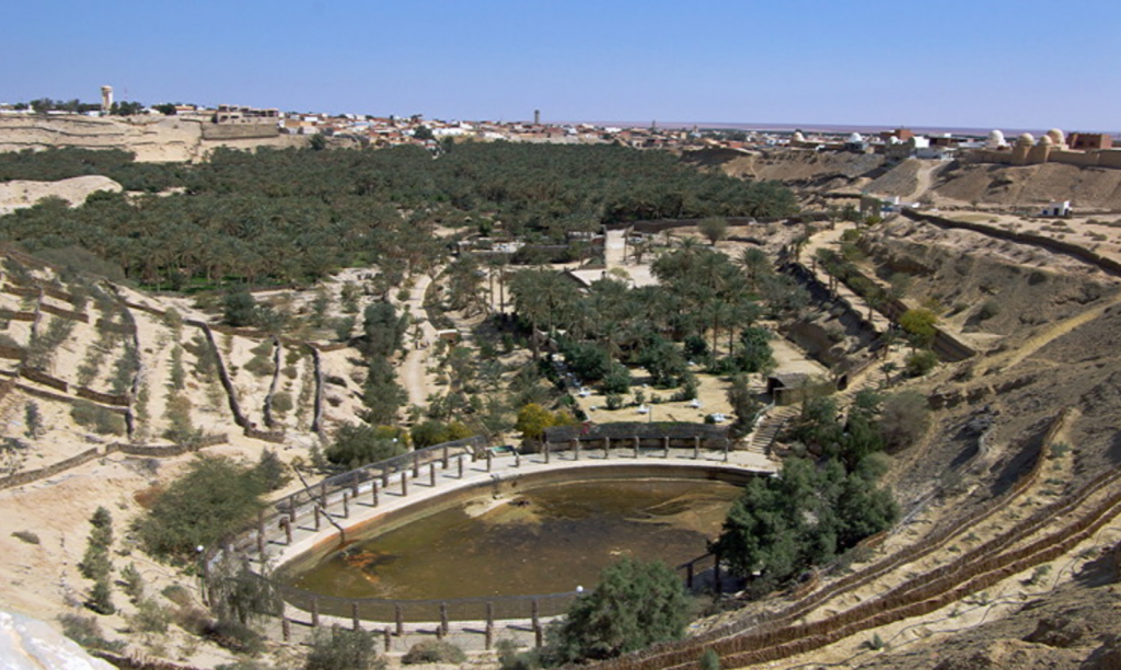
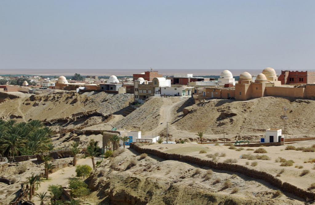
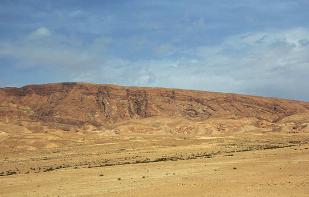
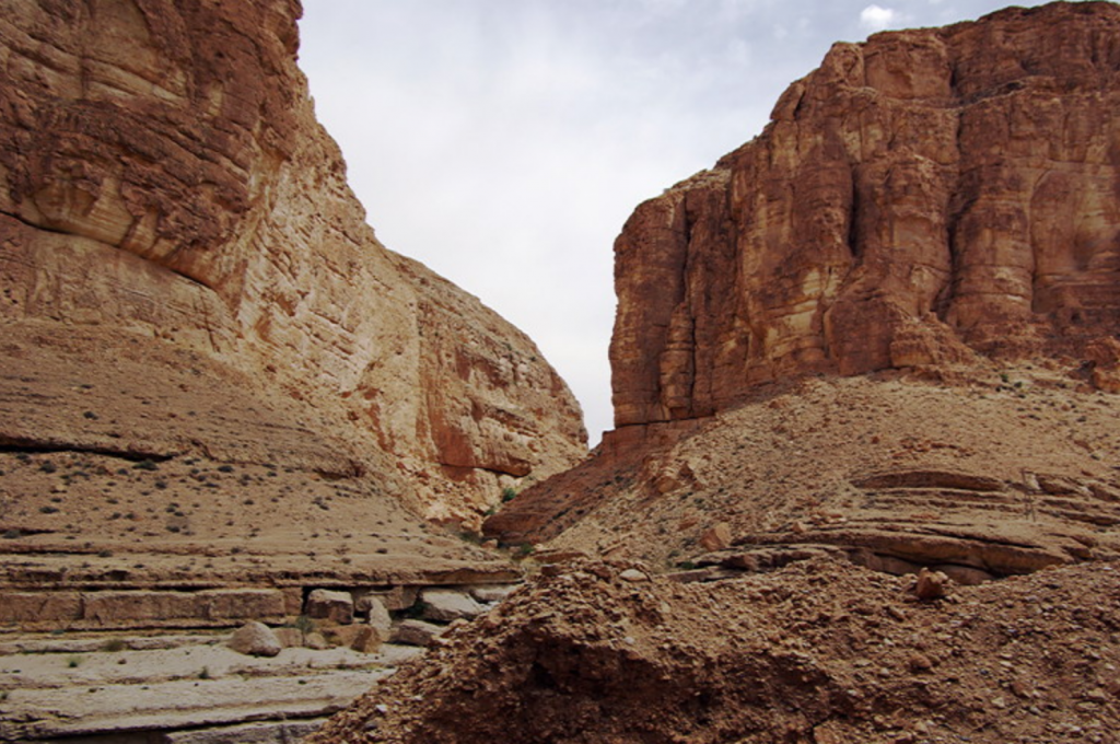
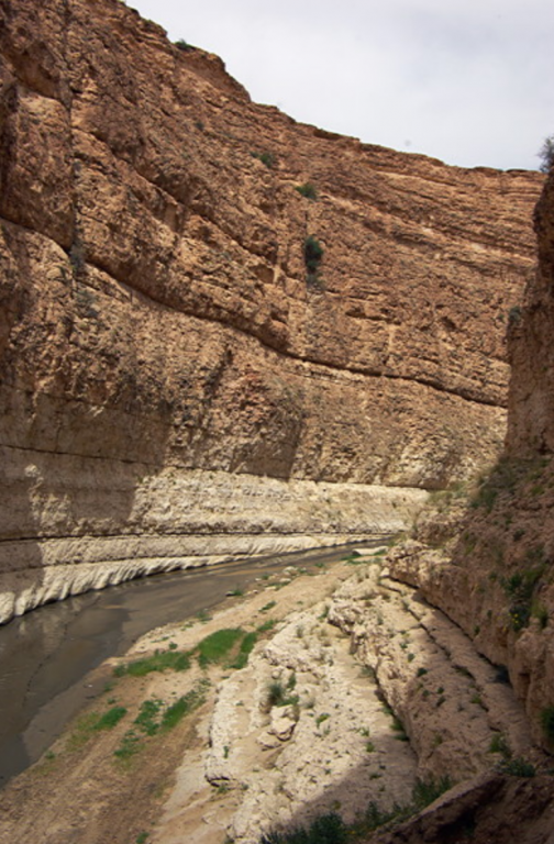
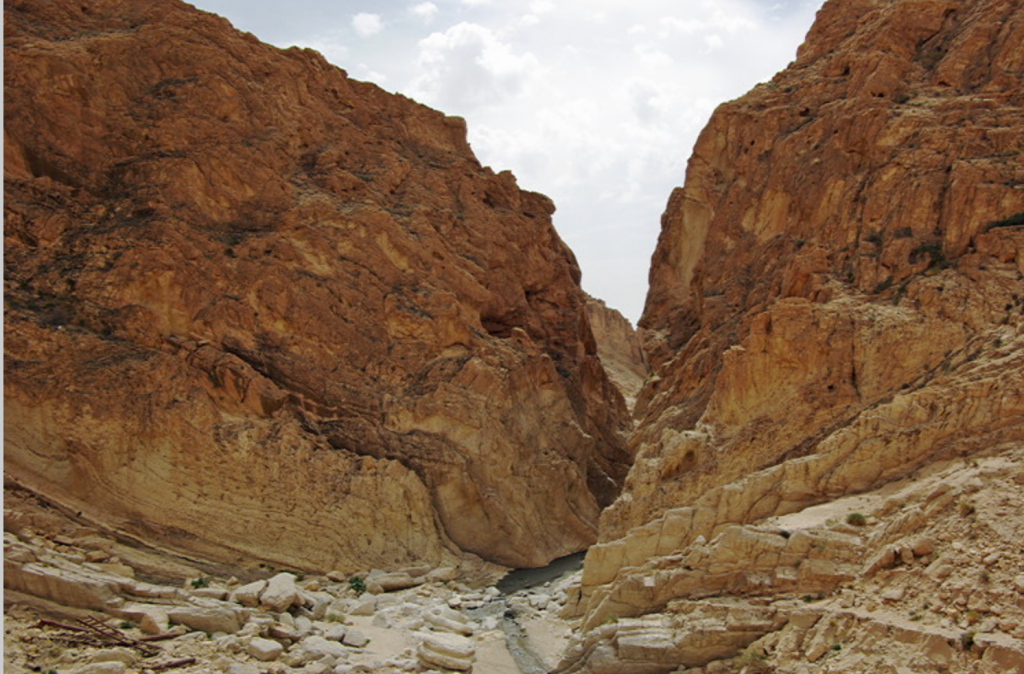
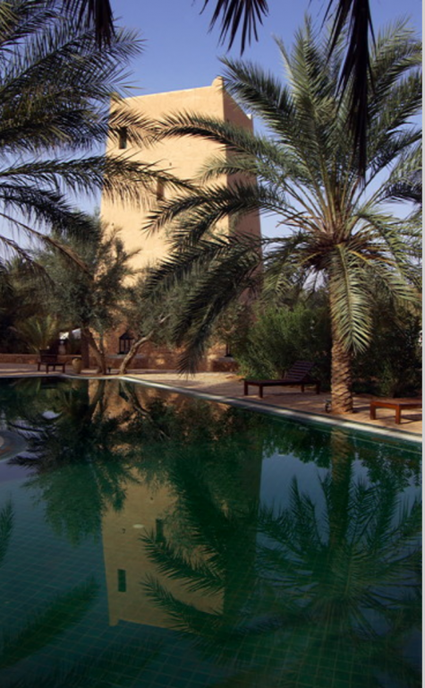
We also felt we could take a night out of Tamerza by visiting Mides and Chebika after the ride on the Red Lizard train. The jury is out on Tozeur and Nefta too, which would have saved another night. The Tamerza Palace Hotel is the only tourist accommodation in Tamerza and is expensive.
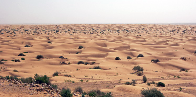
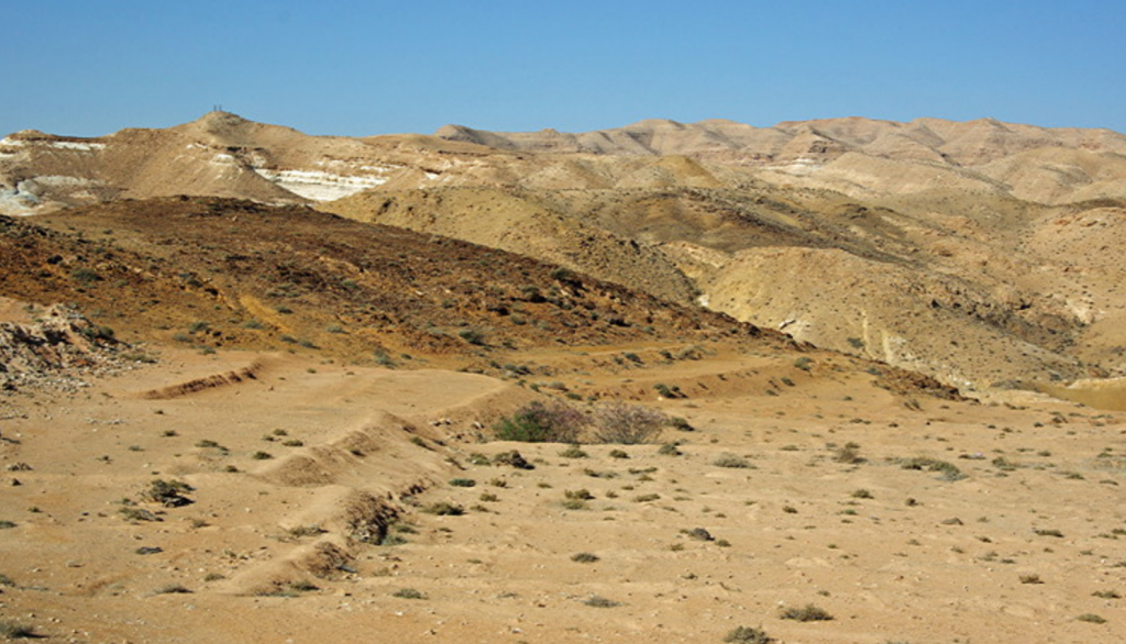
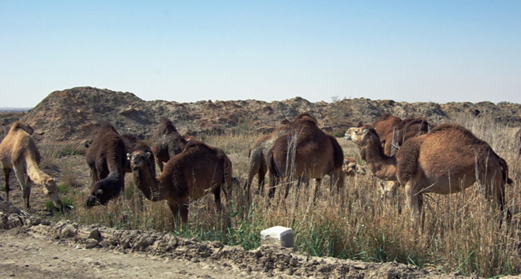
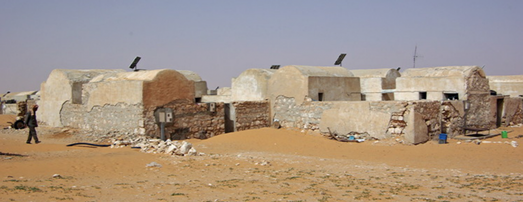
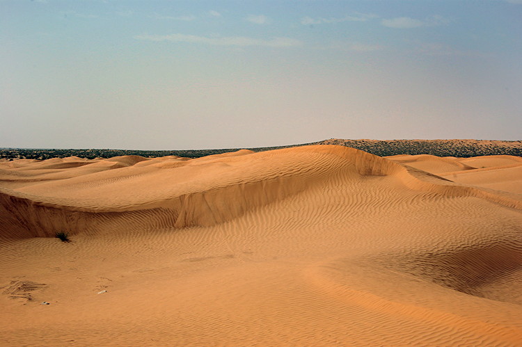
The jury is very much out of Ksar Ghilane too. It did not live up to the hype. Naively perhaps, we had expected the description of “on every side there are sweeping desert dunes accentuating the impression of a remote outpost” to be accurate. It is a rather scruffy oasis full of camp resorts and tourists. The desert is beyond a hedge and fence. I think we might have regretted not spending one night in the desert but didn’t need the two nights we had asked for as there is little to do unless you want to ride a camel, go for a quod bike ride or lie by the pool.
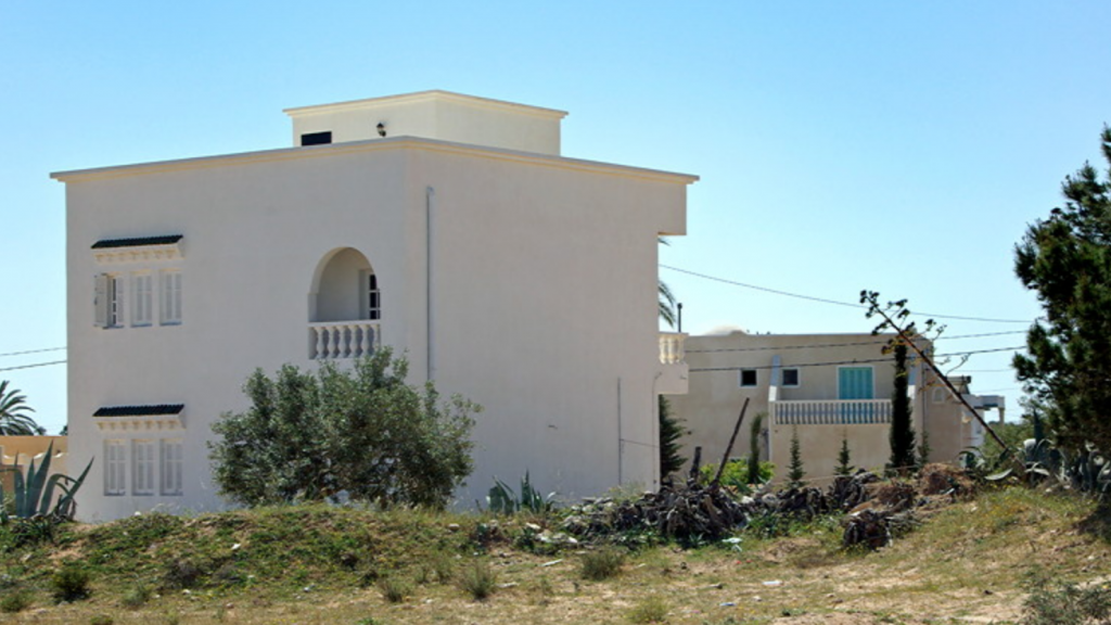
Originally we had discounted Djerba as being too touristy for us. Information coming back from Tunisia Direct who Audley work with said away from the east coast tourist belt the island was very peaceful and people followed a very traditional way of life. Knowing our objectives for the trip, they recommended we spend a couple of nights there. Unfortunately this information is now out of date as there is a lot of new development in Djerba and the traditional way of life is disappearing fast. It was a major disappointment and we felt our original decision had been the right one. Doing the trip again we would omit Djerba.
Ksar Ezzit had been highly recommended to us as a new style venture being an organic olive farm providing a very wide range of inclusive activities such as visits to various historical sites, guided walks, horse riding, talks on farming methods and so on. We had therefore expected to be given a list of activities to choose from. It appears the farm no longer provides those activities. Perhaps because most visitors are Tunisians and are not interested in these activities. It is a delightful place to drop out at the end of a long trip but anyone planning to visit needs to be very sure what is available. Access to a 4x4 car is advisable as the restaurant is about 2 miles from the accommodation. One or two nights could have been cut from this.
Highlights of the trip included
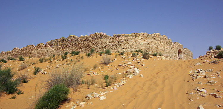
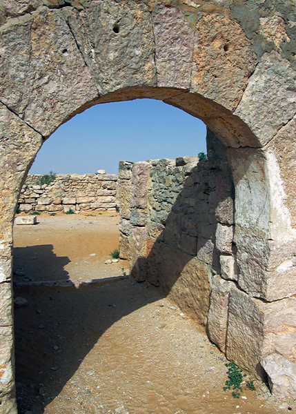
• the many Roman sites especially Ain Tounga and Gightis which get few visitors
• Roman mosaics in Bardo and El Jem Museums
• El Jem amphitheatre towering above the countryside
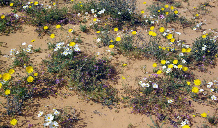
• the wild flowers which were at their best when we visited
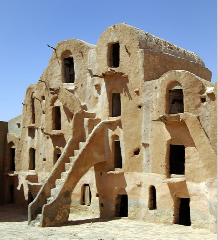
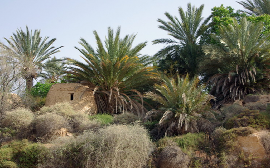
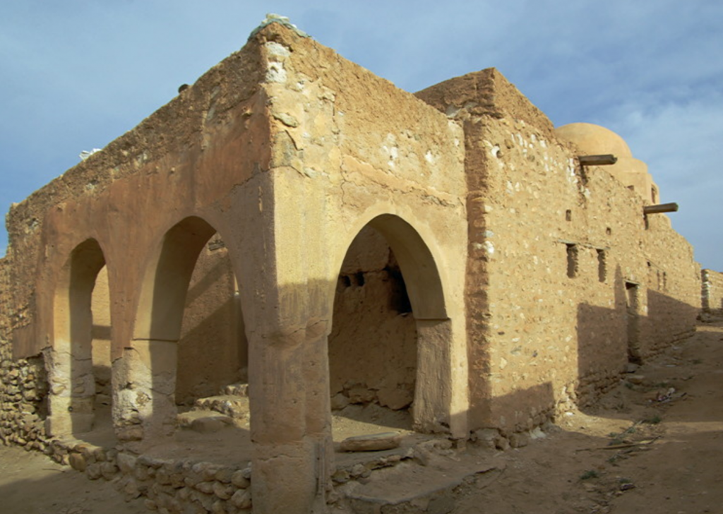
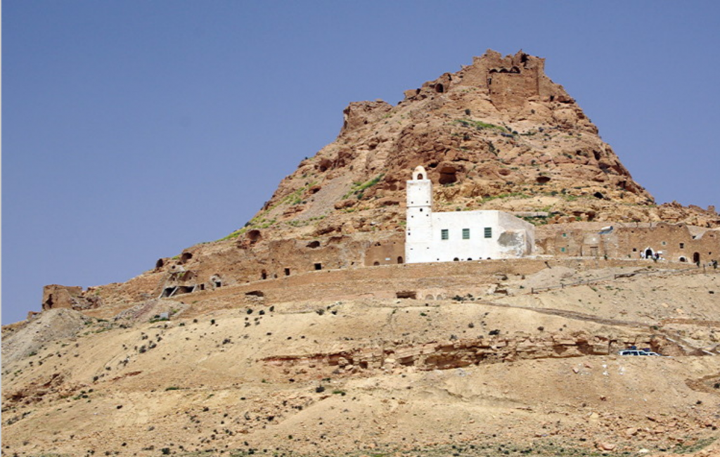
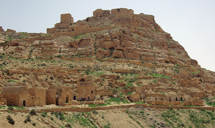
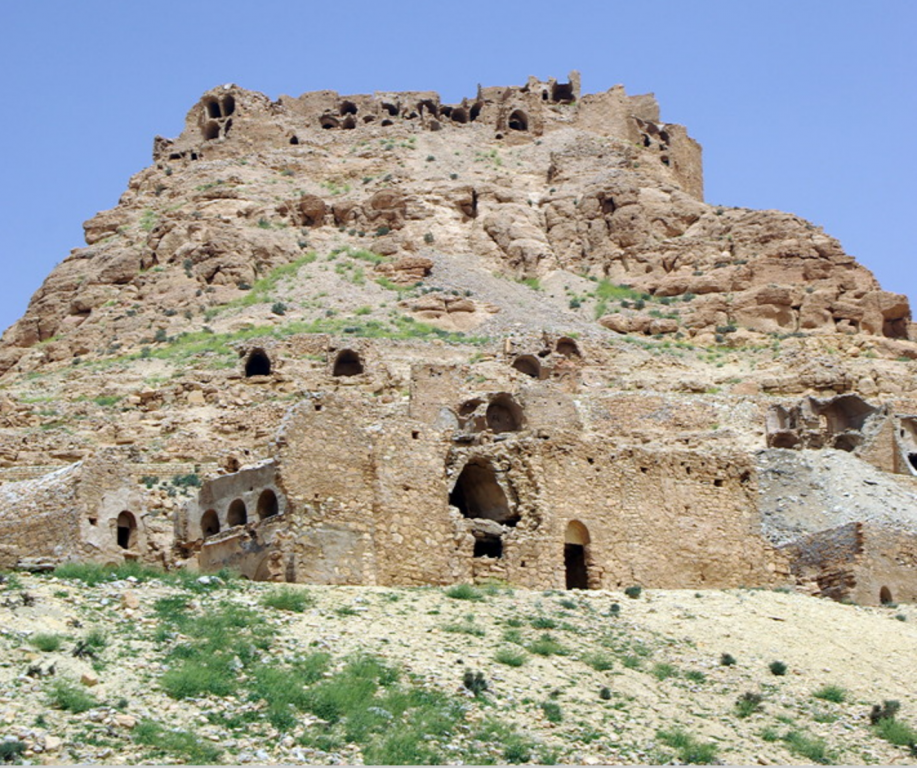
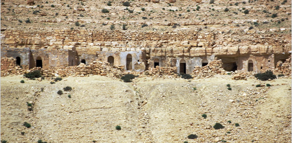
• the Berber hill towns and Ksour around Tataouine
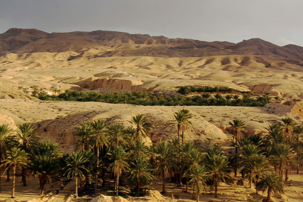
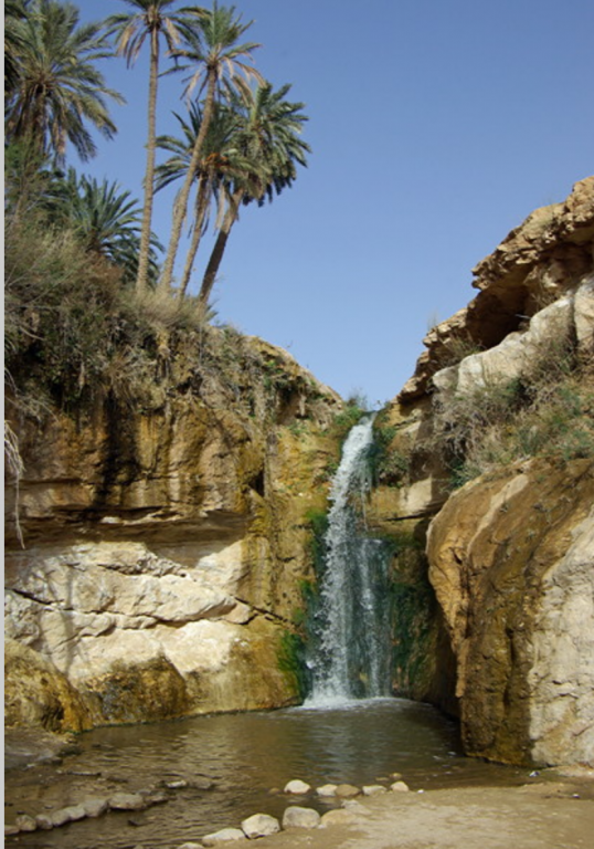
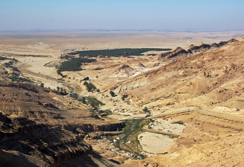
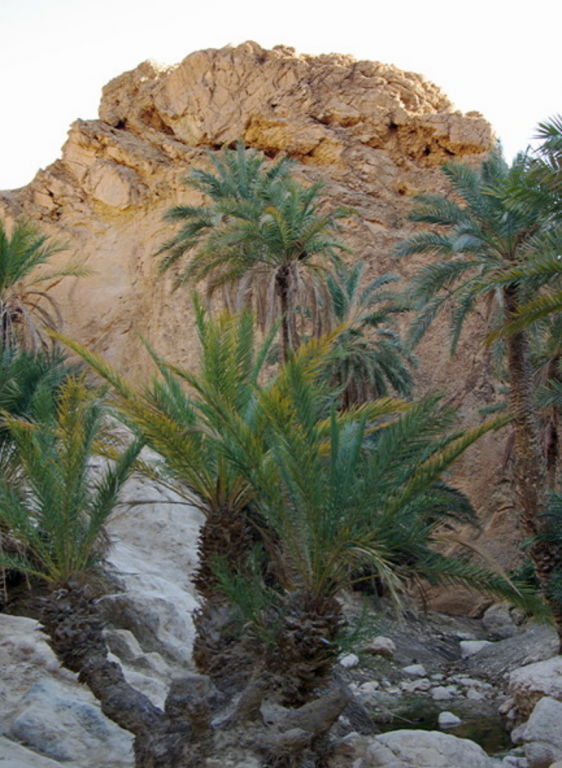
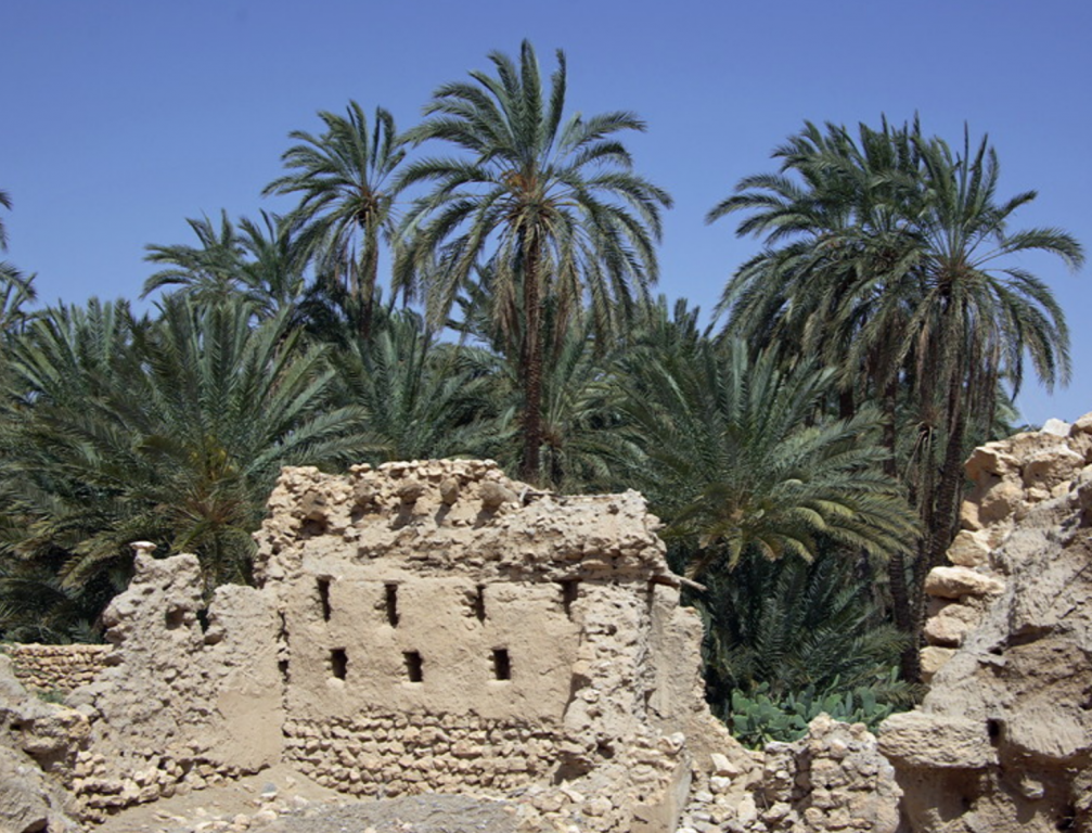
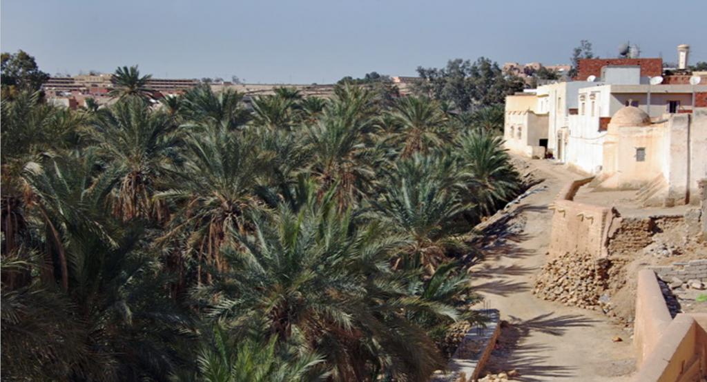
• the oasis at Chebika (once the tourists have gone home)
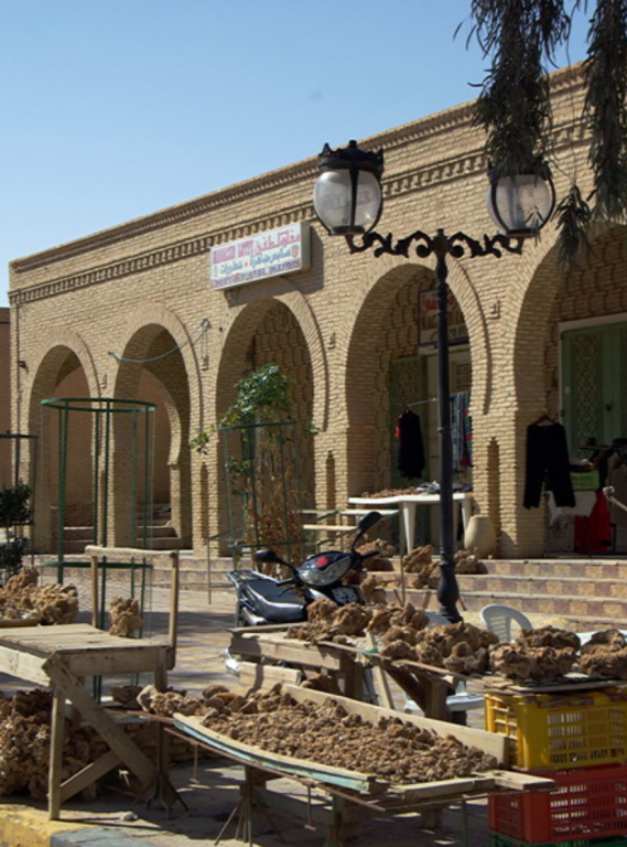
• the fruit and vegetable markets
Above all we will remember the warmth and welcome of the Tunisian people, their great sense of optimism after the Revolution and will for the changes to succeed and make life better.
As the report is so long, the different places we visited can be found below:
#2 Impressions of the south
#3 Star Wars and Tunisia
#4 Tamerza
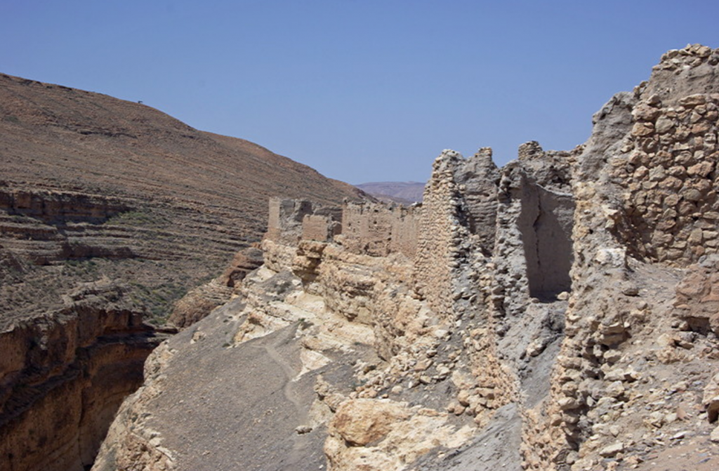
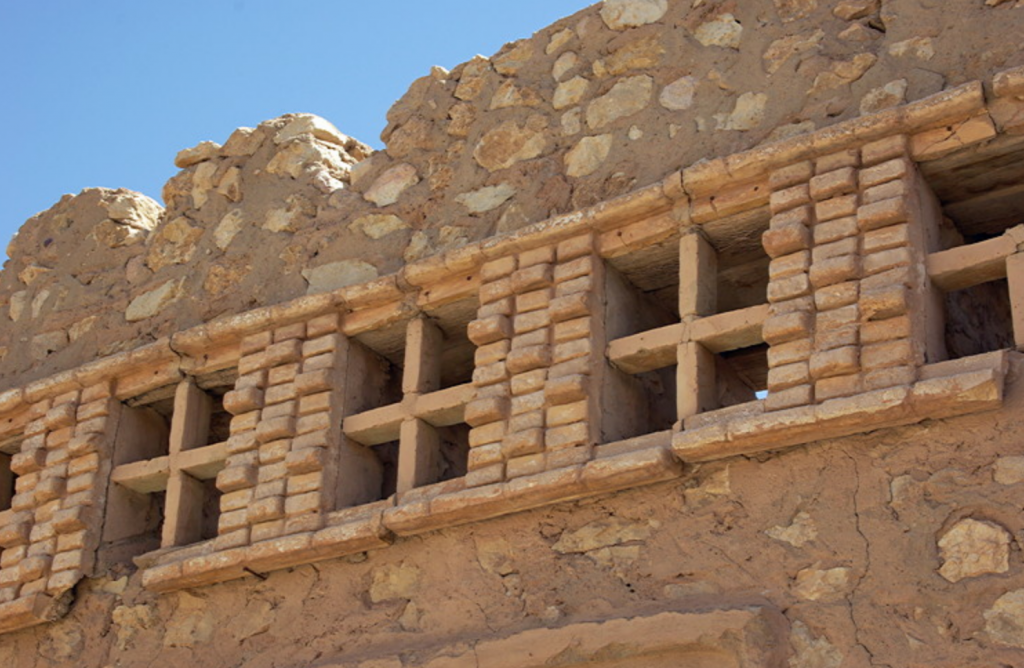
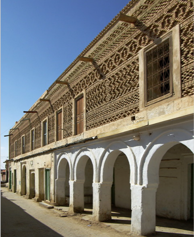
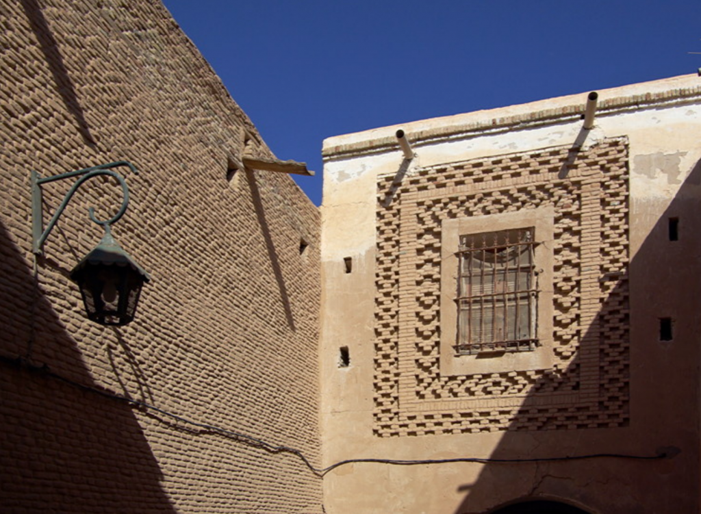
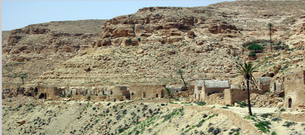
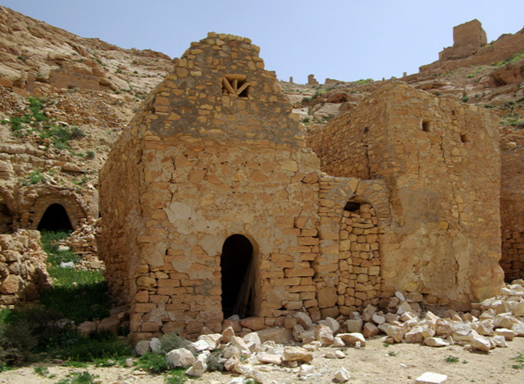
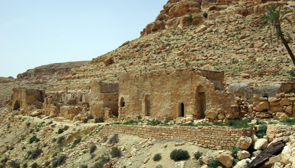
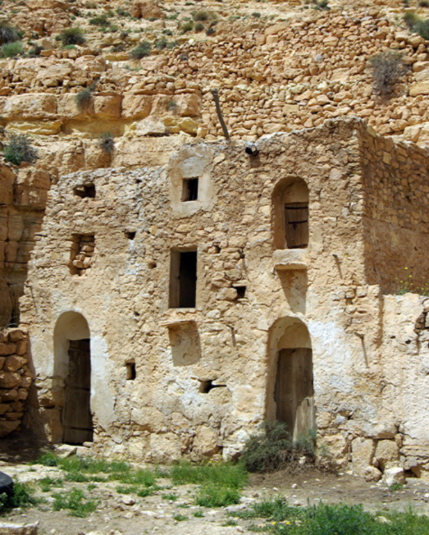
#5 Tamerza Old Town
#6 Chebika
#7 Mides
#8 Tozeur
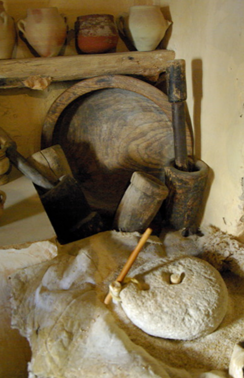
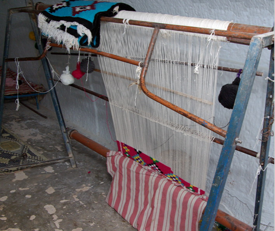
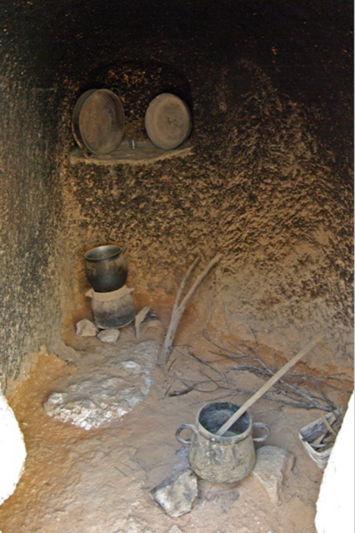
#9 The Museum of Popular Arts and Traditions, Tozeur
#10 Nefta
#13 Traditional Brick makers, Nefta
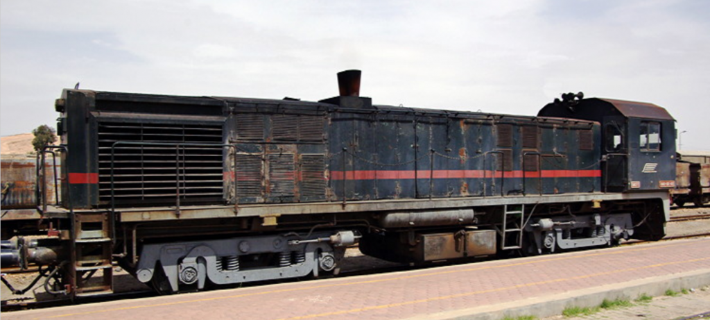
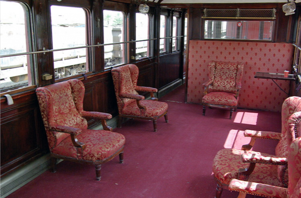
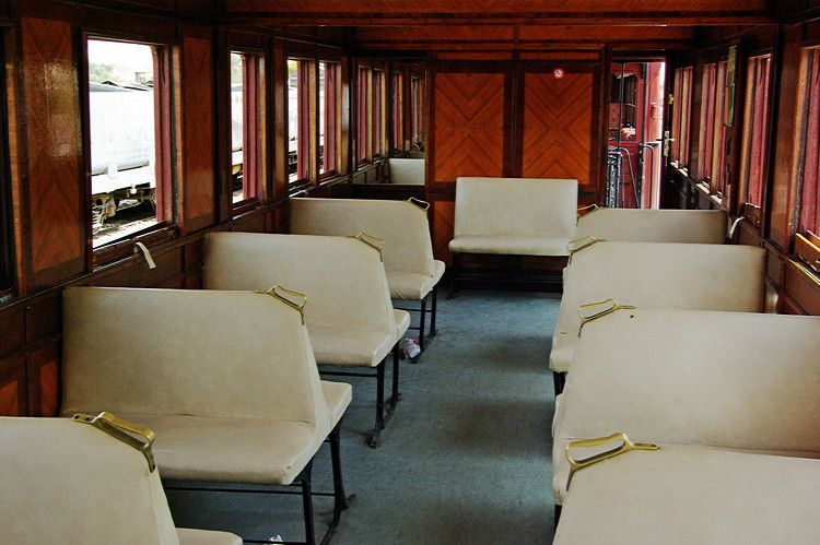
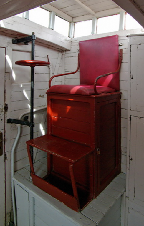
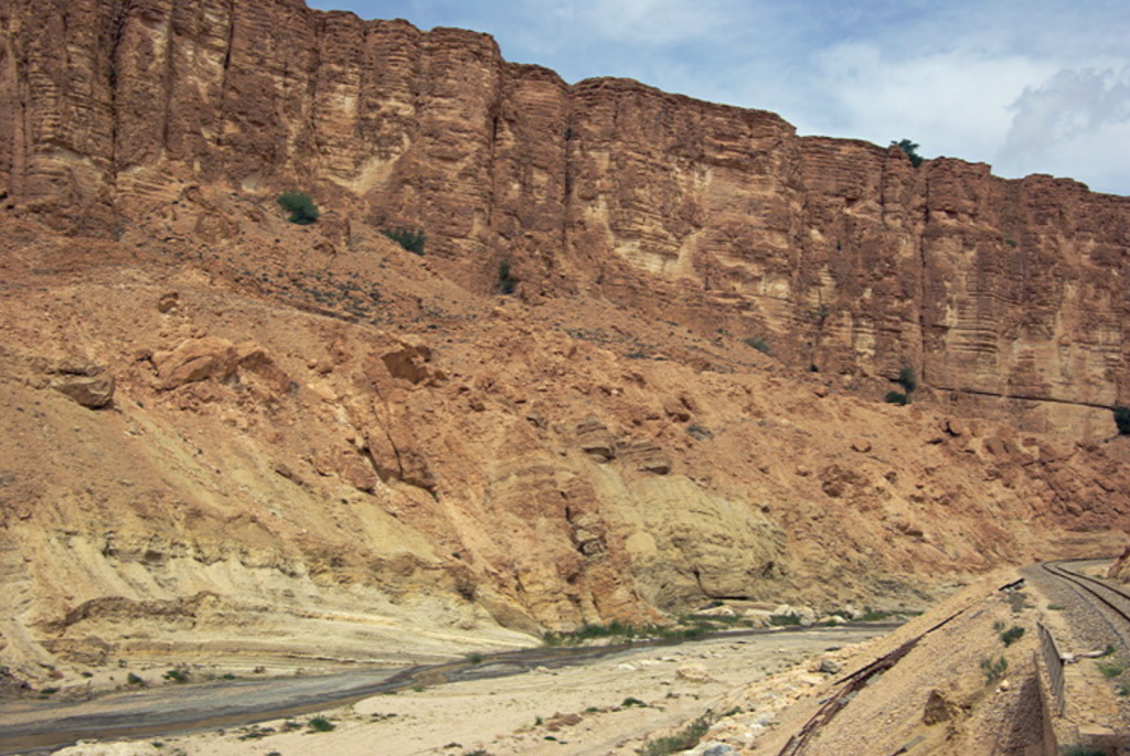
#14 Lézard Rouge
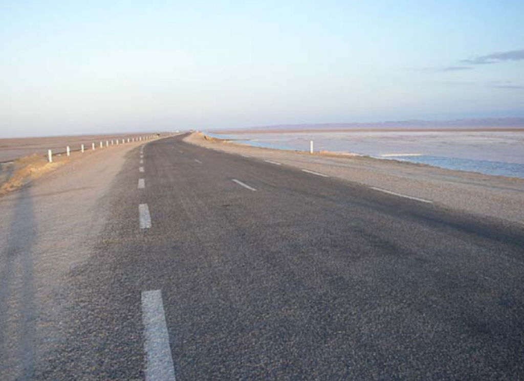
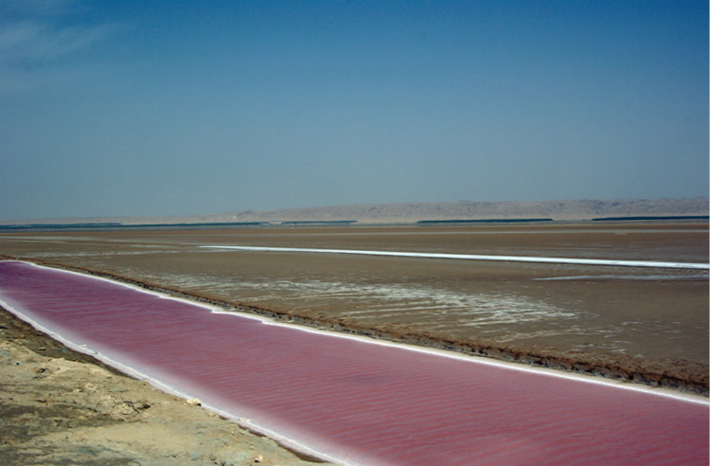
#15 Chott el Jerid
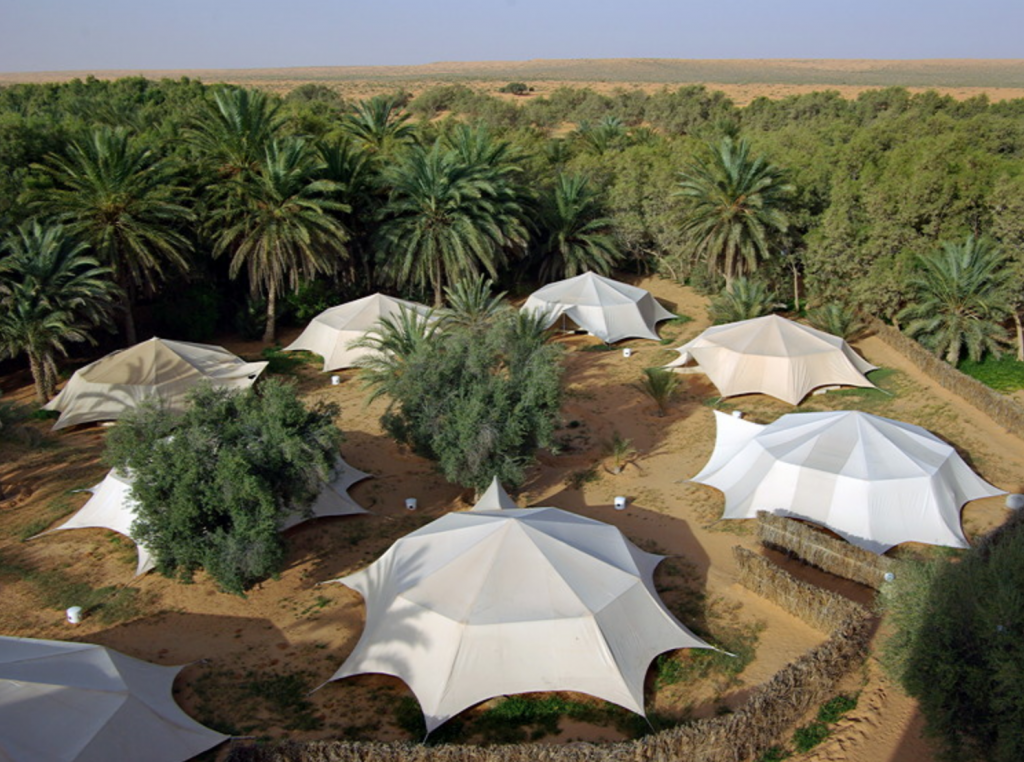
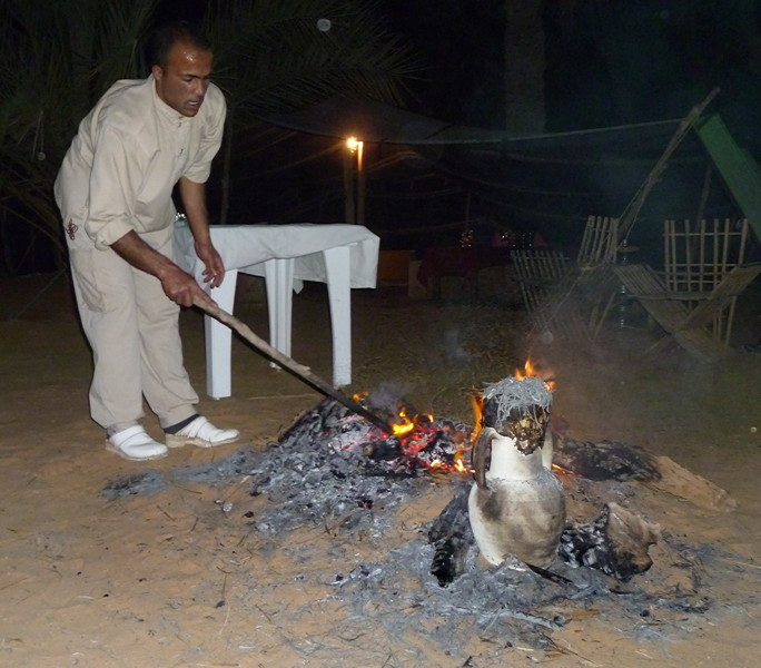
#16 Camp Yadis, Ksar Ghilane
#17 Ksar Ghilkane and the desert
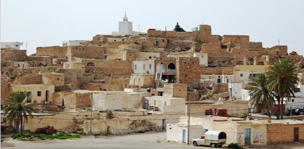
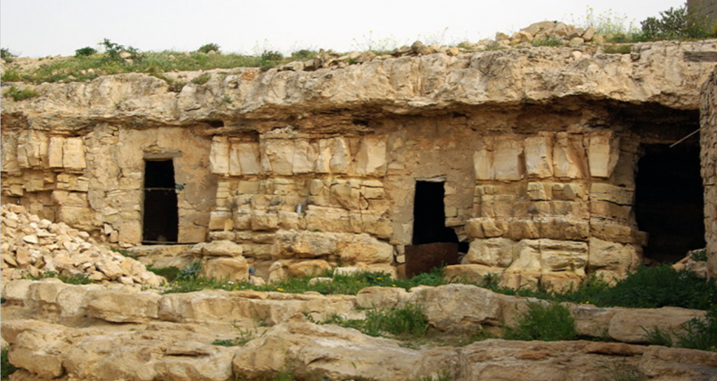
#18 Matmata
#19 Tatouine
#20 Douiret
#21 Douiret
#22 Chenini
#23 Ksour - Ksar Maztouria
#24 Ksar Daghara
#25 Ksar Ouled Soltane
#26 Ksar Ezzahra
#27 Ksour at Beni Behal and Mhira
#28 Ksar el Ferech
#29 Djerba
#30 Djerba - Menzels
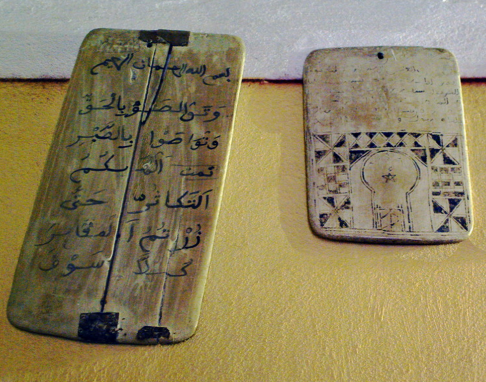
#31 Djerba - Fortified Mosques
#32 Djerba - Er Riadh
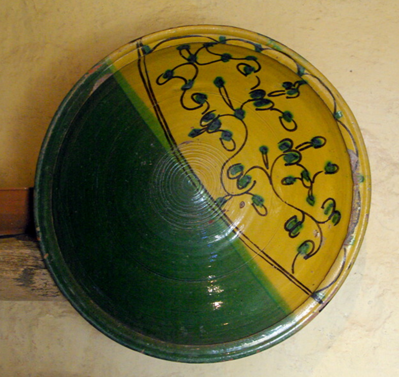
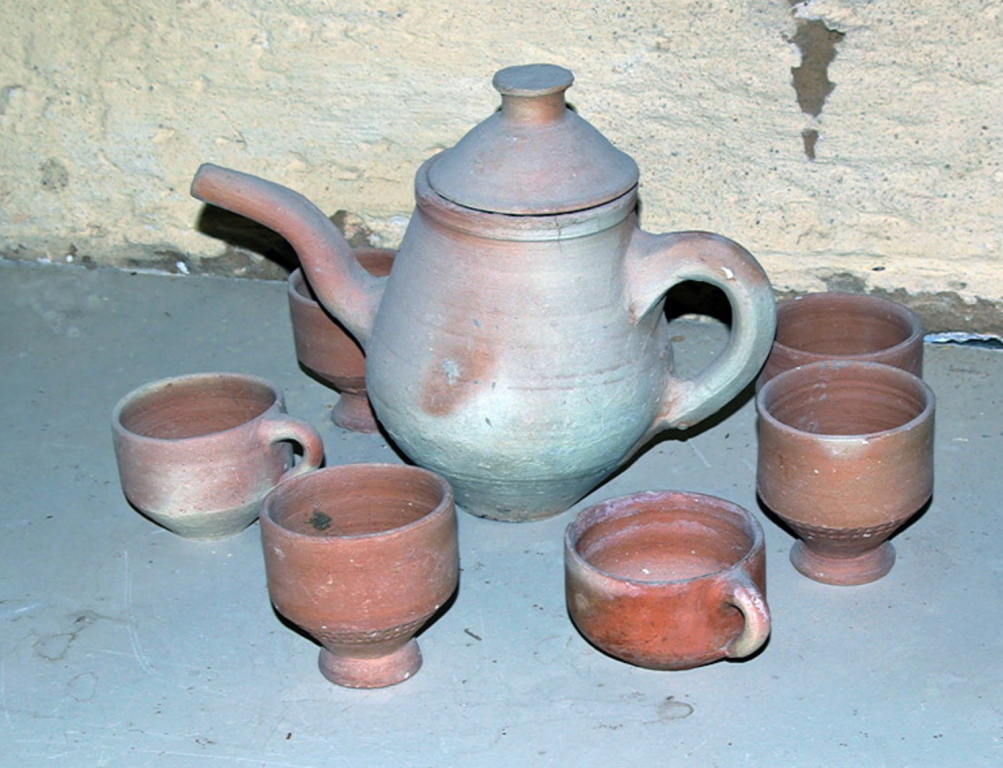
#33 Guellala Pottery
#34 Meninx Roman site
Introduction
We’ve visited all the continents except Africa. We felt we needed to address this but we didn’t want to go to South Africa. Equatorial Africa is too hot for us and we weren’t wanting to watch big game. This left the north coast. We discounted Algeria, Egypt and Libya which left Morocco or Tunisia. Of the two, Tunisia seemed to have the most to offer to us with the Roman sites in the north. We borrowed or bought guide books and started to read. Having drawn up a list of ideas we went to see Audley Travel who we use for all our long trips.
They came up with a month long itinerary beginning in the north and taking us into the desert in the south. We had said we wanted to travel slowly with at least two nights in each place and time to explore by ourselves. We wanted to avoid the tourist resorts and said ‘No Star War sites’. We would have a car and driver but no guide. This suited us as I always research trips thoroughly and go prepared with maps of places we are visiting and notes. Some guides can have very fixed ideas of what they want you to see, which may not be what we want to do.
We would fly British Airways from Gatwick. They have an early morning flight from Gatwick which would give us an afternoon to ourselves in Tunis. The flight back is an evening one which gave us a full day before flying home. As we always have a night near the airport before and after a trip this suited us. Air Tunisia flies from Heathrow but it is an afternoon flight out and day flight back.
The final itinerary looked like this:
Tunis - 4 nights
El Kef - 3 nights
Kairouan - 3 nights
Tamerza - 4 nights
Ksar Ghilane - 2 nights
Tataouine - 2 nights
Djerba - 2 nights
Sfax - 2 nights
Ksar Ezzit - 3 nights
We were lucky with out driver who spoke good English and had a wide knowledge of Tunisia. He soon learnt what we liked doing and took us to many places not in our itinerary, the guide books or internet.
The itinerary worked well and we enjoyed out trip. In retrospect we could have trimmed back on it.
We had allowed a day to see El Kef which we could probably have cut out. Hamman Melligue was interesting but we felt El Kef itself didn’t have a lot to offer.
We also felt we could take a night out of Tamerza by visiting Mides and Chebika after the ride on the Red Lizard train. The jury is out on Tozeur and Nefta too, which would have saved another night. The Tamerza Palace Hotel is the only tourist accommodation in Tamerza and is expensive.
The jury is very much out of Ksar Ghilane too. It did not live up to the hype. Naively perhaps, we had expected the description of “on every side there are sweeping desert dunes accentuating the impression of a remote outpost” to be accurate. It is a rather scruffy oasis full of camp resorts and tourists. The desert is beyond a hedge and fence. I think we might have regretted not spending one night in the desert but didn’t need the two nights we had asked for as there is little to do unless you want to ride a camel, go for a quod bike ride or lie by the pool.
Originally we had discounted Djerba as being too touristy for us. Information coming back from Tunisia Direct who Audley work with said away from the east coast tourist belt the island was very peaceful and people followed a very traditional way of life. Knowing our objectives for the trip, they recommended we spend a couple of nights there. Unfortunately this information is now out of date as there is a lot of new development in Djerba and the traditional way of life is disappearing fast. It was a major disappointment and we felt our original decision had been the right one. Doing the trip again we would omit Djerba.
Ksar Ezzit had been highly recommended to us as a new style venture being an organic olive farm providing a very wide range of inclusive activities such as visits to various historical sites, guided walks, horse riding, talks on farming methods and so on. We had therefore expected to be given a list of activities to choose from. It appears the farm no longer provides those activities. Perhaps because most visitors are Tunisians and are not interested in these activities. It is a delightful place to drop out at the end of a long trip but anyone planning to visit needs to be very sure what is available. Access to a 4x4 car is advisable as the restaurant is about 2 miles from the accommodation. One or two nights could have been cut from this.
Highlights of the trip included
• the many Roman sites especially Ain Tounga and Gightis which get few visitors
• Roman mosaics in Bardo and El Jem Museums
• El Jem amphitheatre towering above the countryside
• the wild flowers which were at their best when we visited
• the Berber hill towns and Ksour around Tataouine
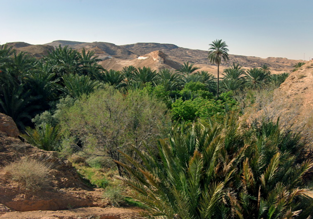
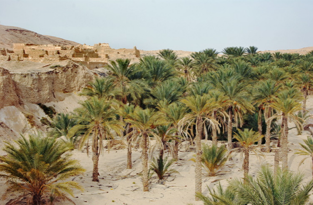
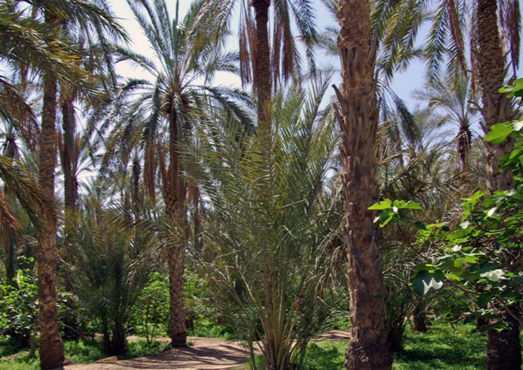
• the oasis at Chebika (once the tourists have gone home)
• the fruit and vegetable markets
Above all we will remember the warmth and welcome of the Tunisian people, their great sense of optimism after the Revolution and will for the changes to succeed and make life better.
As the report is so long, the different places we visited can be found below:
#2 Impressions of the south
#3 Star Wars and Tunisia
#4 Tamerza
#5 Tamerza Old Town
#6 Chebika
#7 Mides
#8 Tozeur
#9 The Museum of Popular Arts and Traditions, Tozeur
#10 Nefta
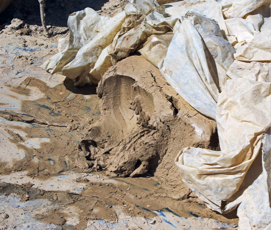
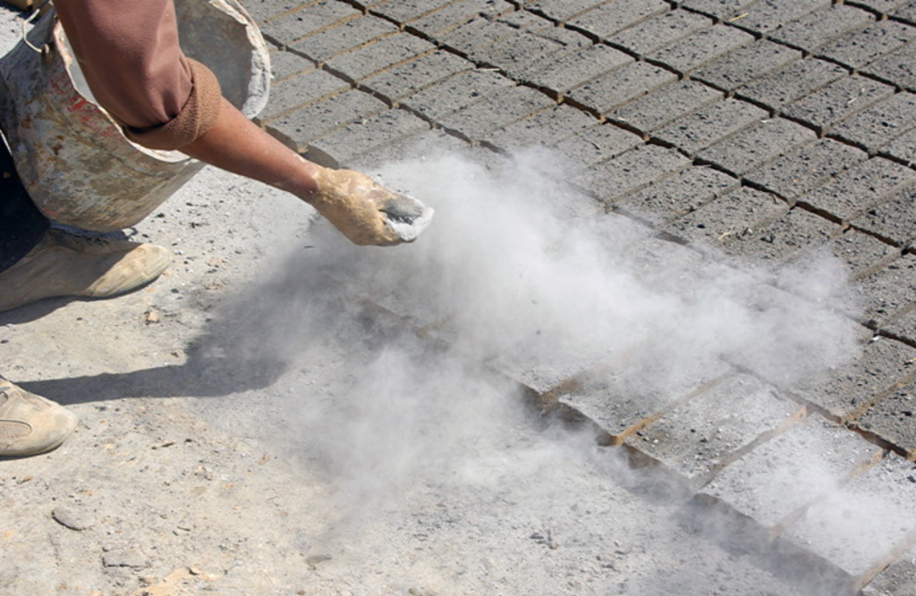
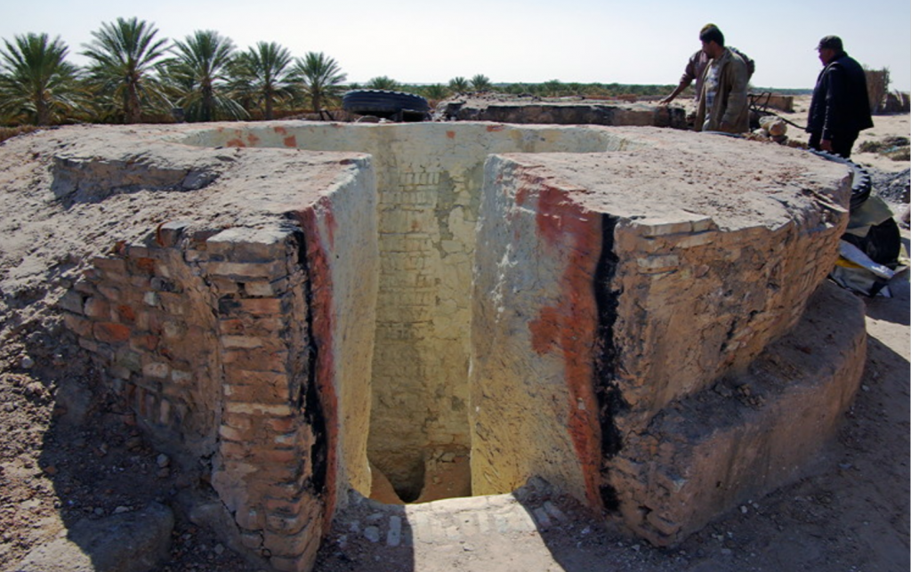
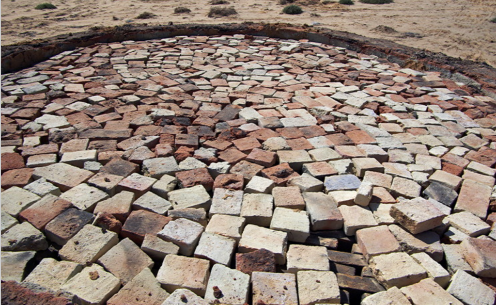
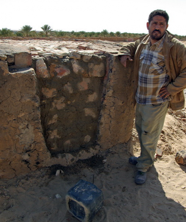
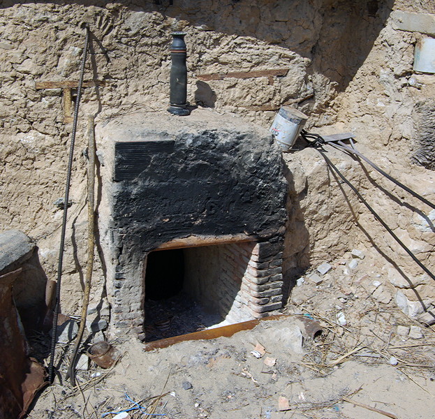
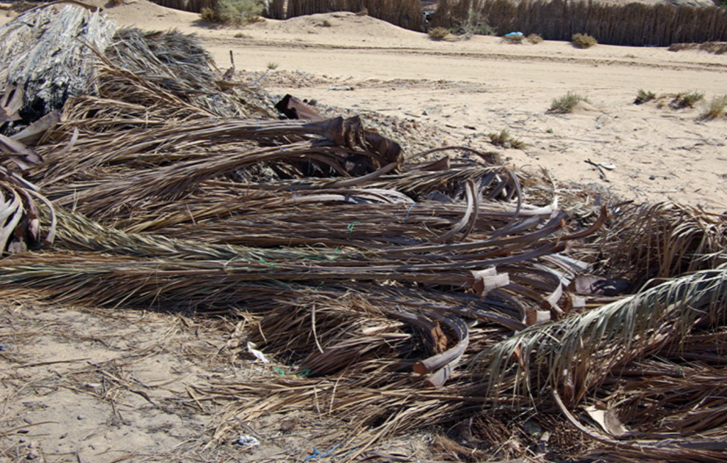
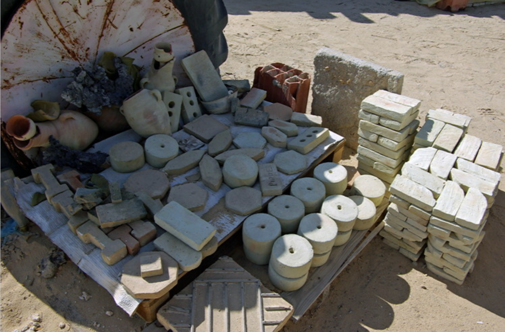
#13 Traditional Brick makers, Nefta
#14 Lézard Rouge
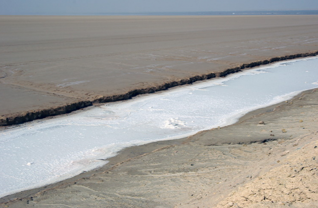
#15 Chott el Jerid
#16 Camp Yadis, Ksar Ghilane
#17 Ksar Ghilkane and the desert
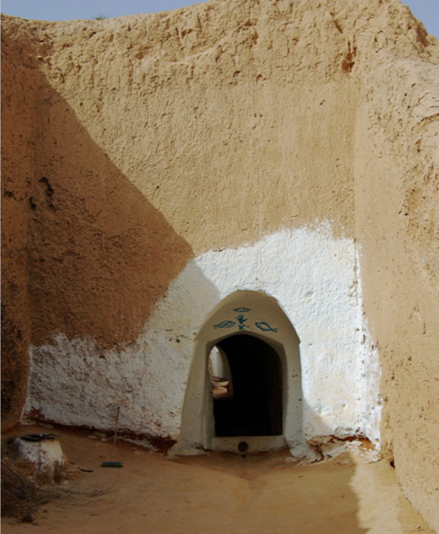
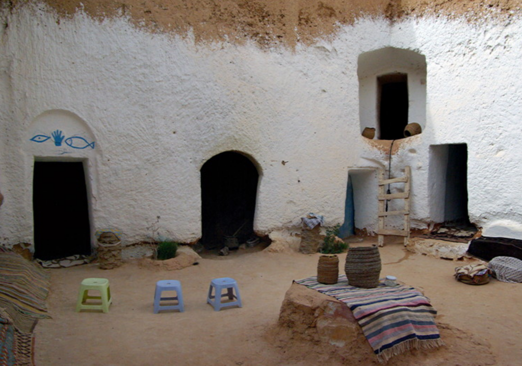
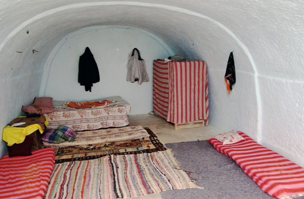
#18 Matmata
#19 Tatouine
#20 Douiret
#21 Douiret
#22 Chenini
#23 Ksour - Ksar Maztouria
#24 Ksar Daghara
#25 Ksar Ouled Soltane
#26 Ksar Ezzahra
#27 Ksour at Beni Behal and Mhira
#28 Ksar el Ferech
#29 Djerba
#30 Djerba - Menzels
#31 Djerba - Fortified Mosques
#32 Djerba - Er Riadh
#33 Guellala Pottery
#34 Meninx Roman site
Last edited: